Sandland
Location: Vennesla Municipality
GPS coordinates: 58.36589,7.70362
Latest update: November 1, 2025 17:06
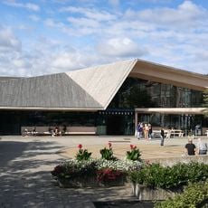
Vennesla Library and Culture House
18.9 km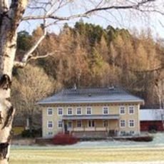
Vigeland hovedgård
19.6 km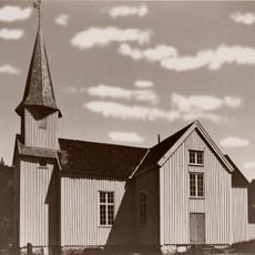
Laudal Church
17.6 km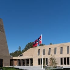
Vennesla Church
18.5 km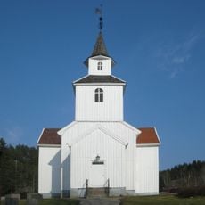
Iveland Church
19.1 km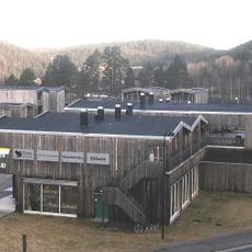
Iveland kommunes mineralsamling
15.9 km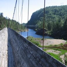
Steinsfossen tømmerrenne
14 km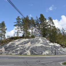
Ivelandsveggen
15.8 km
Liksteinen
11.9 km
Vertjønnmyra
10.6 km
Kjerran
4.9 km
Vertjønnheia
10.5 km
Ropstadknuten
5.1 km
Vertjønnheia
10.3 km
Røyseland
12.6 km
Paulen jernbanebru
16.6 km
Property of Liberstad 707/27
9.3 km
Marnar Laksesenter
17.4 km
Property of Liberstad 732/1
8.7 km
Steinsfossen
17 km
Property of Liberstad 707/9
9.4 km
Statue, Work of art
19.1 km
Ravnåstippen
19.4 km
Scenic viewpoint
18.6 km
Scenic viewpoint
18.5 km
Karisteinen
8.9 km
Svinefjell
19 km
Scenic viewpoint
18.1 kmReviews
Visited this place? Tap the stars to rate it and share your experience / photos with the community! Try now! You can cancel it anytime.
Discover hidden gems everywhere you go!
From secret cafés to breathtaking viewpoints, skip the crowded tourist spots and find places that match your style. Our app makes it easy with voice search, smart filtering, route optimization, and insider tips from travelers worldwide. Download now for the complete mobile experience.

A unique approach to discovering new places❞
— Le Figaro
All the places worth exploring❞
— France Info
A tailor-made excursion in just a few clicks❞
— 20 Minutes