
Ulsberget
Location: Stavanger Municipality
GPS coordinates: 58.89412,5.73175
Latest update: June 2, 2025 22:42

Flyhistorisk Museum, Sola
5.7 km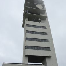
Ullandhaugtårnet
5.3 km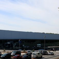
Sørmarka Arena
5.1 km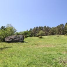
Sørmarka i Stavanger
4.2 km
The Science Factory
4.8 km
Sandnes stadion
3.9 km
Gandsfjord
2.7 km
Våland
6.2 km
Arboreto de Rogaland
5.2 km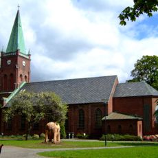
Sandnes Church
4.6 km
Sandvedparken
5.8 km
Madlamark Church
6.1 km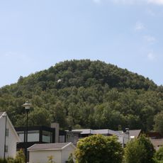
Jåttånuten
1.7 km
Sandnes kulturhus
4.7 km
Gand Church
6.1 km
Kristianslyst skole
4.8 km
Lura Church
2.4 km
Hinna Church
3.3 km
Gausel Church
752 m
Hana Church
3.7 km
Nygårdshuset
4.8 km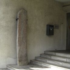
Norwegian Runic Inscription 239
5 km
Lanternen i Sandnes
4.7 km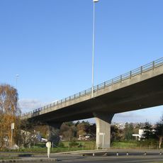
Kvelluren bridge
6.2 km
Jardín Botánico de Stavanger
5.2 km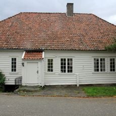
Haugvaldstadminne 8
5.8 km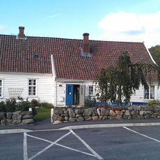
Fogdahuset Hana
4.6 km
SKEIANE
5.2 kmReviews
Visited this place? Tap the stars to rate it and share your experience / photos with the community! Try now! You can cancel it anytime.
Discover hidden gems everywhere you go!
From secret cafés to breathtaking viewpoints, skip the crowded tourist spots and find places that match your style. Our app makes it easy with voice search, smart filtering, route optimization, and insider tips from travelers worldwide. Download now for the complete mobile experience.

A unique approach to discovering new places❞
— Le Figaro
All the places worth exploring❞
— France Info
A tailor-made excursion in just a few clicks❞
— 20 Minutes