
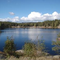
Jordmyra, dam in Kristiansand, Noorwegen
Location: Kristiansand Municipality
GPS coordinates: 58.17495,7.95070
Latest update: March 8, 2025 23:22
Baneheia
3.1 km
Ravnedalen
2.5 km
Eg Sykehus
3.6 km
Arkivet
3.8 km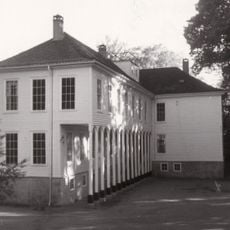
Gimle Gård
3.6 km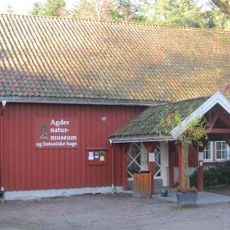
Agder Natural History Museum and Botanical Garden
3.6 km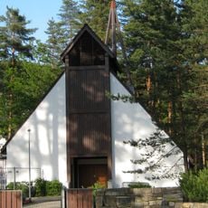
Torridal Church
3.5 km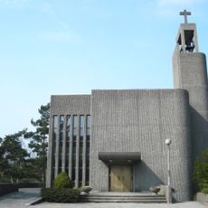
Grim Church
3.3 km
Sørlandets Art Museum
4 km
Oddernesbrua
3.6 km
Regional State Archives in Kristiansand
3.9 km
Hellemyr Church
3.5 km
Ekserserhuset
3.7 km
Skippergata 43
4 km
SKMU Sørlandets Kunstmuseum
4 km
4. Revetjønn
2 km
Pudretthuset
2 km
1. Revetjønn
2.1 km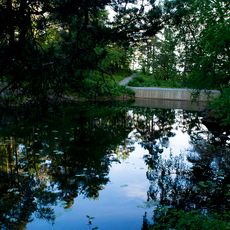
Bånetjønn
2.3 km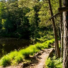
3. Revetjønn
2 km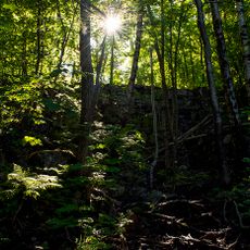
2. Revetjønn
2.1 km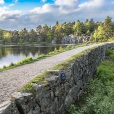
2. Stampetjønn
3.5 km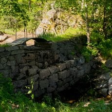
Arenfeldts dam
2 km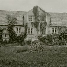
Stiftsgården
3.9 km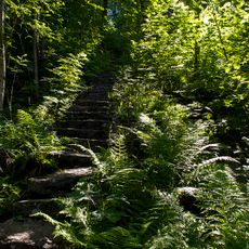
Tusentrappane
2.1 km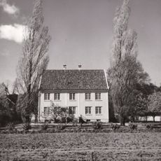
ODDERNES PRESTEGÅRD
4 km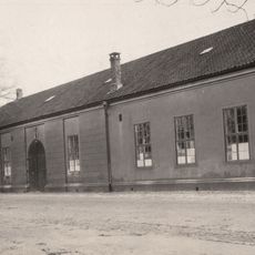
EKSERSERHUSET - Tordenskioldsgt. 64
3.7 km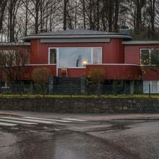
ARENFELDTSV.2
3.5 kmReviews
Visited this place? Tap the stars to rate it and share your experience / photos with the community! Try now! You can cancel it anytime.
Discover hidden gems everywhere you go!
From secret cafés to breathtaking viewpoints, skip the crowded tourist spots and find places that match your style. Our app makes it easy with voice search, smart filtering, route optimization, and insider tips from travelers worldwide. Download now for the complete mobile experience.

A unique approach to discovering new places❞
— Le Figaro
All the places worth exploring❞
— France Info
A tailor-made excursion in just a few clicks❞
— 20 Minutes