Larshus naturreservat, محمية طبيعية في النرويج
Location: Lunner Municipality
Inception: December 17, 2021
GPS coordinates: 60.31000,10.68500
Latest update: October 30, 2025 08:07
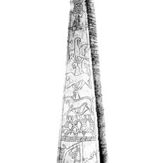
Dynna stone
4.8 km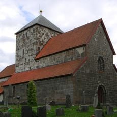
St. Nicholas Church
10.6 km
Hadeland Mining Museum
6.6 km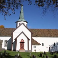
Lunner Church
7.1 km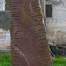
Granavollen stone
10.6 km
Mariakirken
10.6 km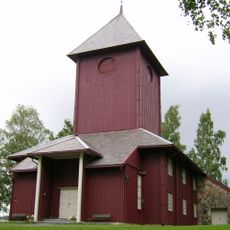
Ål Church
7.7 km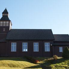
Grua Church
6.2 km
Bjørgeseter
8.3 km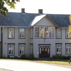
Granavollen Gjæstgiveri
10.7 km
Lunners kommunhus
4.5 km
Solheim skole, Lunner
7.2 km
Øverenga
10.6 km
Rypsekkvegen
5.5 km
Storetjernsveien
10.4 km
Gullen, gulden
6.3 km
Scenic viewpoint
2.6 km
Installation artwork, Work of art
6.2 km
Scenic viewpoint
7.1 km
Helleren
8.6 km
Svenballrudtoppen
7.3 km
Scenic viewpoint
6.5 km
Scenic viewpoint
8.1 km
Scenic viewpoint
8.8 km
Ole Sørens plass
10.5 km
Scenic viewpoint
10.6 km
Scenic viewpoint
7.5 km
Scenic viewpoint, pier
5.6 kmReviews
Visited this place? Tap the stars to rate it and share your experience / photos with the community! Try now! You can cancel it anytime.
Discover hidden gems everywhere you go!
From secret cafés to breathtaking viewpoints, skip the crowded tourist spots and find places that match your style. Our app makes it easy with voice search, smart filtering, route optimization, and insider tips from travelers worldwide. Download now for the complete mobile experience.

A unique approach to discovering new places❞
— Le Figaro
All the places worth exploring❞
— France Info
A tailor-made excursion in just a few clicks❞
— 20 Minutes