Sūr Kamar, cliff in Khyber Pakhtunkhwa, Pakistan
Location: Khyber Pakhtunkhwa
Elevation above the sea: 451 m
GPS coordinates: 33.81944,71.62343
Latest update: October 27, 2025 14:33
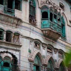
Kapoor Haveli
21.7 km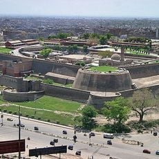
Bala Hisar Fort
22.1 km
House of Dilip Kumar
21.4 km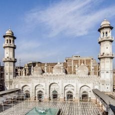
Mohabbat Khan Mosque
21.8 km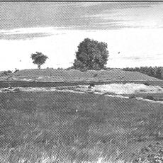
Kanishka stupa
20.2 km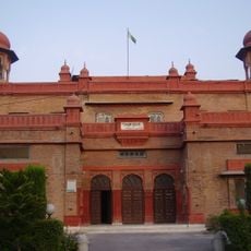
Peshawar Museum
21.8 km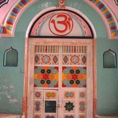
Dargah Pir Ratan Nath Jee
22.3 km
Kalibari Mandir, Peshawar
22.3 km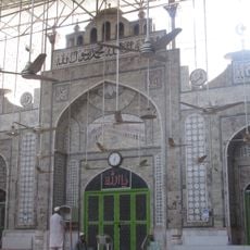
Qasim Ali Khan Mosque
21.7 km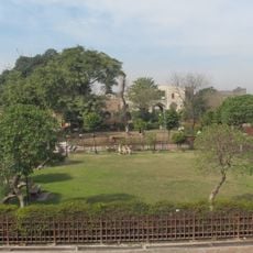
Gorkhatri
21.4 km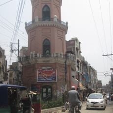
Cunningham Clock Tower
21.6 km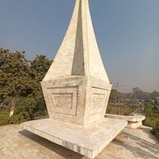
Shahi Bagh
22.7 km
Ali Baig Azad Kashmir
23.3 km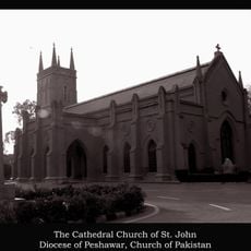
St. John's Church, Peshawar
21.7 km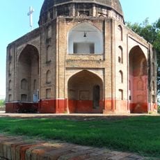
Syed ka Bagh
21.3 km
Sher Khan Shaheed Stadium park
22.8 km
Shuuba Chowk / شوبہ چوک
21.8 km
Daoranpura Peshawar
23.1 km
Shakir Associates
22 km
Cunningham Clock Tower
21.6 km
Sethi Pul Mughal Bridge
19.7 km
Cricket Everywhere
23 km
Shaji-ki-Dheri Remains (Kaniska Stupa)
20.3 km
Kohat Tunnel, Darra Adam Khel side
20.3 km
Chacha Younas Park
22.2 km
Bhana Mari Tomb
21.1 km
Peshawar Massacre Memorial
21.7 km
M-1 Mounment
23.1 kmReviews
Visited this place? Tap the stars to rate it and share your experience / photos with the community! Try now! You can cancel it anytime.
Discover hidden gems everywhere you go!
From secret cafés to breathtaking viewpoints, skip the crowded tourist spots and find places that match your style. Our app makes it easy with voice search, smart filtering, route optimization, and insider tips from travelers worldwide. Download now for the complete mobile experience.

A unique approach to discovering new places❞
— Le Figaro
All the places worth exploring❞
— France Info
A tailor-made excursion in just a few clicks❞
— 20 Minutes