
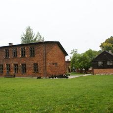
Dwór, dwór in Kołacinek, Łódź Voivodeship, Poland
Location: Kołacinek
Inception: 19 century
GPS coordinates: 51.86753,19.82876
Latest update: April 12, 2025 13:14
Muzeum Regionalne im. Wł. St. Reymonta – Lipce Reymontowskie
8.1 km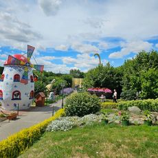
Dinopark Kołacinek
76 m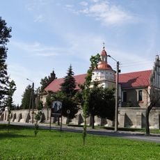
Exaltation of the Holy Cross church in Brzeziny
9.5 km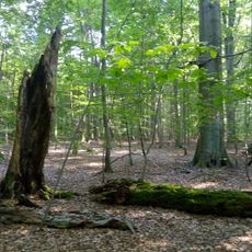
Nature reserve Bukowiec
7.5 km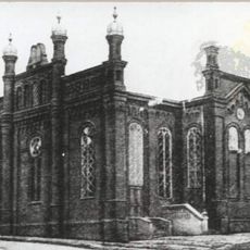
Synagoge
9.1 km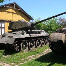
War Museum in Lipice Reymontowskie
8.1 km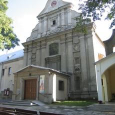
Saint Francis of Assisi church in Brzeziny
9.3 km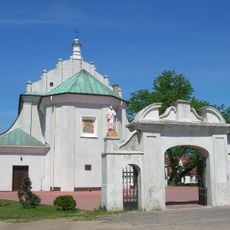
Saints Andrew and Margaret church in Dmosin
8.5 km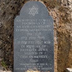
Jewish cemetery in Brzeziny
8.3 km
Cmentarz rzym.-kat.
8.9 km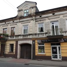
Św. Anny 15
9.3 km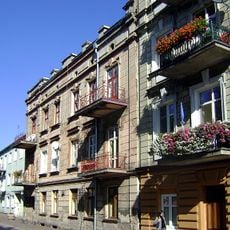
Mickiewicza 12
9.1 km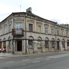
Św. Anny 1
9.2 km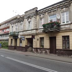
Św. Anny 13
9.3 km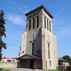
Exaltation of the Holy Cross church in Brzeziny - belfry
9.4 km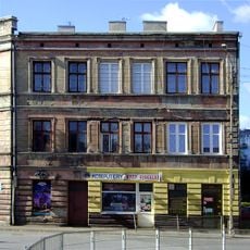
Św. Anny 20
9.3 km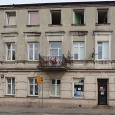
Św. Anny 21
9.3 km
Berka Joselewicza 2
9.1 km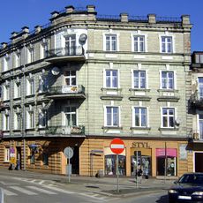
Mickiewicza 10
9.1 km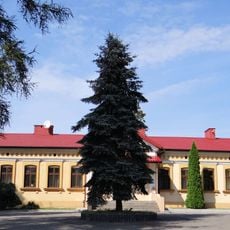
Exaltation of the Holy Cross church in Brzeziny - Vicarage
9.5 km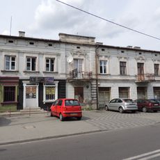
Piłsudskiego 18
9.3 km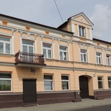
36 Piłsudskiego Street in Brzeziny
9.5 km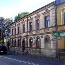
Reformacka 3
9.2 km
Sienkiewicza 1
9.1 km
Staszica 3
9.1 km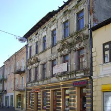
Staszica 8
9.1 km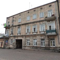
Staszica 12a (nie znaleziono nr. 12a – zdjęcie przedstawia nr 12)
9.1 km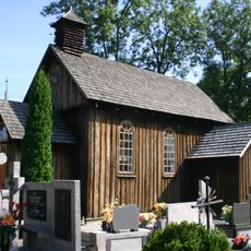
Saint Josaphat chapel in Lipce Reymontowskie
8.8 kmReviews
Visited this place? Tap the stars to rate it and share your experience / photos with the community! Try now! You can cancel it anytime.
Discover hidden gems everywhere you go!
From secret cafés to breathtaking viewpoints, skip the crowded tourist spots and find places that match your style. Our app makes it easy with voice search, smart filtering, route optimization, and insider tips from travelers worldwide. Download now for the complete mobile experience.

A unique approach to discovering new places❞
— Le Figaro
All the places worth exploring❞
— France Info
A tailor-made excursion in just a few clicks❞
— 20 Minutes