
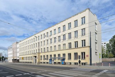
Szkoła stanowiąca część d. Umschlagplatzu , pocz. l. 30. XX w.
Szkoła stanowiąca część d. Umschlagplatzu , pocz. l. 30. XX w., budynek w Warszawie
Location: Śródmieście
Inception: 1930s
Part of: 10 Stawki Street in Warsaw
GPS coordinates: 52.25275,20.98992
Latest update: March 4, 2025 19:24

Umschlagplatz in Warsaw ghetto
75 m
Museum of the History of Polish Jews
426 m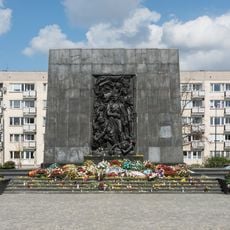
Monument aux héros du ghetto
445 m
Miła 18
216 m
Intraco I
497 m
Maszt Wolności
574 m
Babka Tower
412 m
Umschlagplatz monument
83 m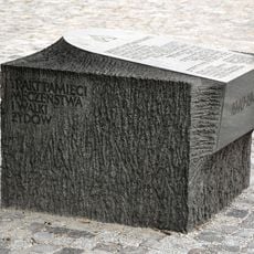
Memorial Route of Jewish Martyrdom and Struggle in Warsaw
538 m
Żegota Monument in Warsaw
464 m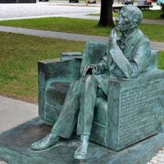
Ławeczka Jana Karskiego w Warszawie
485 m
Gdański Business Center
549 m
Szmul Zygielbojm Monument in Warsaw, Poland
294 m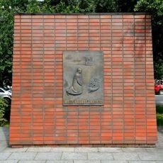
Willy Brandt Square in Warsaw
376 m
Willy Brandt Monument in Warsaw
374 m
5-7 Stawki Street in Warsaw
44 m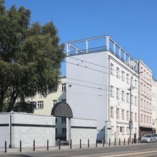
10 Stawki Street in Warsaw
29 m
35 Andersa Street in Warsaw
496 m
Pomnik Mordechaja Anielewicza, tzw. Kopiec Anielewicza
215 m
Blok przy ulicy Andersa 23
578 m
37 Andersa Street in Warsaw
466 m
Skwer Rodziny Kuczerów
484 m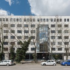
6 Lewartowskiego Street in Warsaw
302 m
Cinema City Arkadia
594 m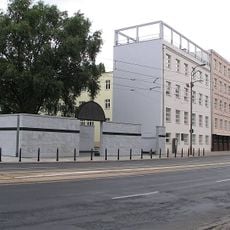
Szkoła stanowiąca część d. Umschlagplatzu (budynek II)
48 m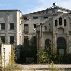
Hala produkcyjna garbarni Temler i Szwede
544 m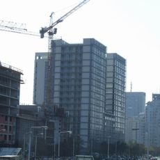
M2 (apartamentowiec)
466 m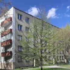
11 Niska Street in Warsaw
286 mReviews
Visited this place? Tap the stars to rate it and share your experience / photos with the community! Try now! You can cancel it anytime.
Discover hidden gems everywhere you go!
From secret cafés to breathtaking viewpoints, skip the crowded tourist spots and find places that match your style. Our app makes it easy with voice search, smart filtering, route optimization, and insider tips from travelers worldwide. Download now for the complete mobile experience.

A unique approach to discovering new places❞
— Le Figaro
All the places worth exploring❞
— France Info
A tailor-made excursion in just a few clicks❞
— 20 Minutes