
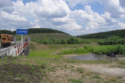
Kansky District, human settlement in Russia
Location: Krasnoyarsk Krai
Inception: April 4, 1924
Capital city: Kansk
GPS coordinates: 56.20000,95.71667
Latest update: March 3, 2025 23:54
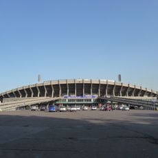
Central Stadium
177.2 km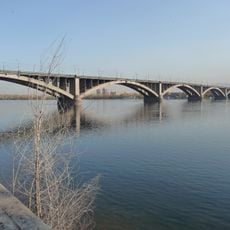
Kommunalny bridge
178 km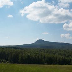
Chyornaya Sopka
167.4 km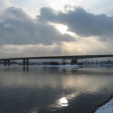
Oktyabrsky bridge
173.3 km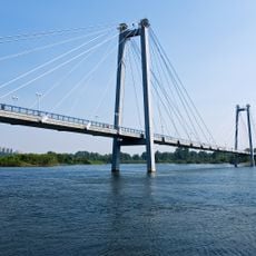
Vinogradovsky bridge
176 km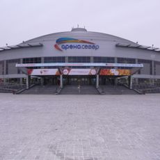
Arena Sever
175.9 km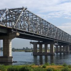
Bridge 777
168.6 km
Yenisey Stadium
171.1 km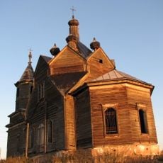
Saint Paraskevi Church
142.4 km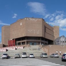
Krasnoyarsk Cultural and Historical Museum Complex
176.5 km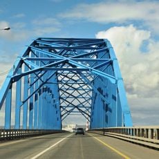
Yermolayevsky Bridge
158.6 km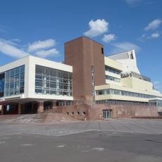
Krasnoyarsk Regional Philharmonic
176.4 km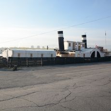
Sainted Nicholas
176.4 km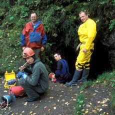
Bolshaya Oreshnaya Cave
160 km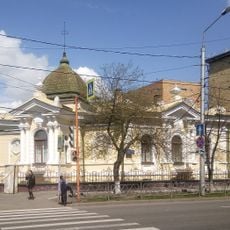
Krasnoyarsk State Surikov Art Museum
177.2 km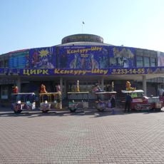
Krasnoyarsk State Circus
175.9 km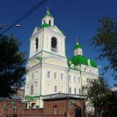
Church of the Annunciation
176.9 km
Krasnoyarsk Youth Theatre
174.6 km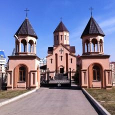
St. Sarkis church in Krasnoyarsk
174.8 km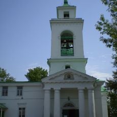
Holy Trinity Church
176.8 km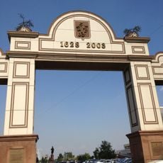
Триумфальная арка
176.5 km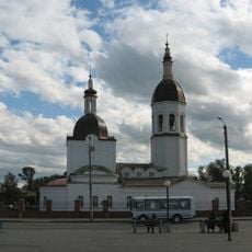
Holy Trinity cathedral in Kansk
828 m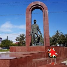
Monument to soldiers-internationalists, Krasnoyarsk
176.9 km
Krasnoyarsk Gostiny dvor
176.6 km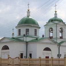
Church of the Intercession of Our Lady in Shila
169.3 km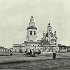
Church of the Intercession of the Theotokos in Krasnoyarsk
177.5 km
Krutovsky homestead
176.7 km
Literatyrniy museum in Krasnoyarsk
177.7 kmReviews
Visited this place? Tap the stars to rate it and share your experience / photos with the community! Try now! You can cancel it anytime.
Discover hidden gems everywhere you go!
From secret cafés to breathtaking viewpoints, skip the crowded tourist spots and find places that match your style. Our app makes it easy with voice search, smart filtering, route optimization, and insider tips from travelers worldwide. Download now for the complete mobile experience.

A unique approach to discovering new places❞
— Le Figaro
All the places worth exploring❞
— France Info
A tailor-made excursion in just a few clicks❞
— 20 Minutes