
Ostrovnoe, human settlement in Slavsky District, Kaliningrad Oblast, Russia
Birth place of Armin Mueller-Stahl
15.7 km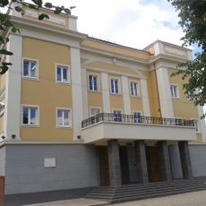
Tilsit Theatre
15.8 km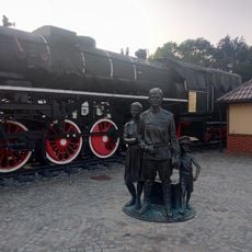
Birinchi ko‘chmanchilar haykali
15.5 km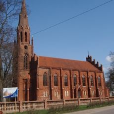
Kirche Heinrichswalde
10.4 km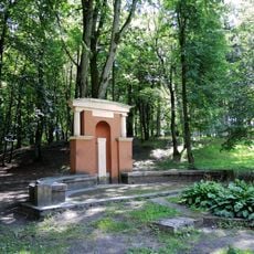
Jacobsruhe
15.7 km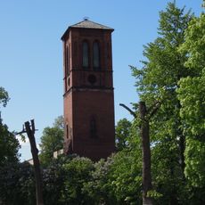
Reformed Church in Sovetsk
15.8 km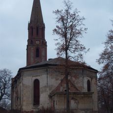
Kaukehmen Church
8.2 km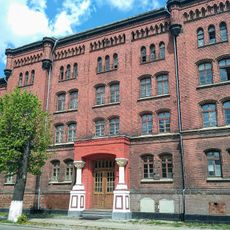
Lietuvos dragūnų pulko kareivinės
15.8 km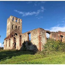
Kirche Neukirch
6.8 km
Sovetsk Railway Bridge
15.5 km
Фреска «Павлин»
15.8 km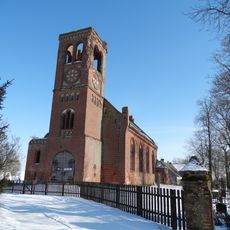
Evangelical Lutheran Church in Plaškiai
6.1 km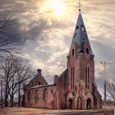
Kirche Pokraken
3.6 km
Kirche Skören
939 m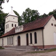
Evangelical Lutheran Church in Pagėgiai
15.8 km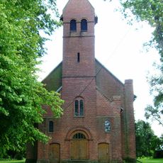
Evangelical Lutheran Church in Rukai
10.6 km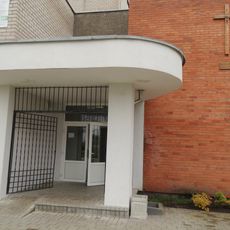
Usėnai chapel
10.9 km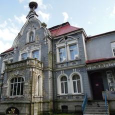
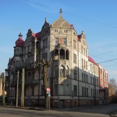
Особняк (Вилла торговца лесом) (Советск)
13.4 km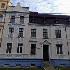
Жилой дом (Советск)
15.8 km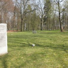
German war cemetery in Sovetsk
12.9 km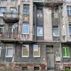
Жилой дом (Советск)
15.6 km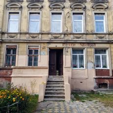
Жилой дом (Советск)
15.8 km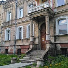
Жилой дом (Советск)
15.8 km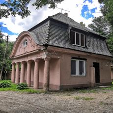
Капелла (Советск)
12.7 km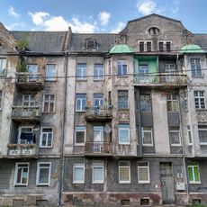
Жилой дом (Советск)
15.6 km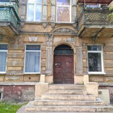
Жилой дом (Советск)
15.8 km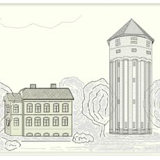
Водонапорная башня (железнодорожная) (Советск)
15.4 km
Green Theatre
15.8 kmReviews
Visited this place? Tap the stars to rate it and share your experience / photos with the community! Try now! You can cancel it anytime.
Discover hidden gems everywhere you go!
From secret cafés to breathtaking viewpoints, skip the crowded tourist spots and find places that match your style. Our app makes it easy with voice search, smart filtering, route optimization, and insider tips from travelers worldwide. Download now for the complete mobile experience.

A unique approach to discovering new places❞
— Le Figaro
All the places worth exploring❞
— France Info
A tailor-made excursion in just a few clicks❞
— 20 Minutes