
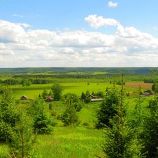
Окинята, human settlement in Vokhomsky District, Kostroma Oblast, Russia
Location: Лапшинское сельское поселение
GPS coordinates: 59.06949,46.68277
Latest update: March 3, 2025 21:40

Northern Ridge
136.7 km
Заповедник "Нургуш"
156.4 km
Kologrivsky Nature Reserve
162.9 km
Isakova Mointain
145.8 km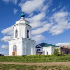
Trinity Church, Medyany
157.4 km
Kologriv local history museum
138.1 km
Church of the Theotokos of the Sign, Pasegovo
175 km
Дом-музей И. С. Конева
127.1 km
Истобенский Троицкий монастырь
141.1 km
Кузнєцово (Шар'їнський район)
107.6 km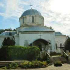
Kazan Church, Nikolsk
86 km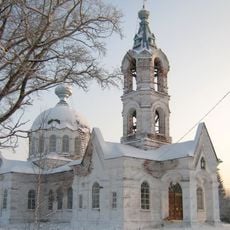
Церковь Космы и Дамиана
170.1 km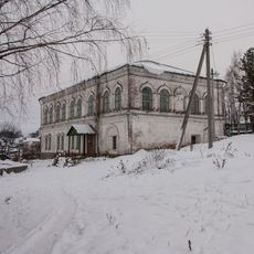
Вохомский краеведческий музей
16 km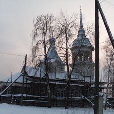
Церковь Космы и Дамиана (Логдуз)
151 km
Intercession church, Verkhodvorie
141.7 km
Yelkhovetsky
108.8 km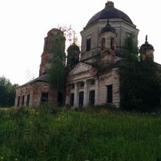
Dormilion church
151.5 km
44 км
162.4 km
Прохоров (Костромська область)
5.1 km
Дюковское лесничество
98.4 km
Петрушино (Мантуровський район)
153 km
Носковський (кордон)
62.8 km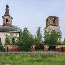
Церковь Николая Чудотворца (Пеганово)
167.3 km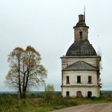
Церковь Покрова (Чучеры)
175 km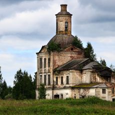
Trinity Church, Orlovo
158 km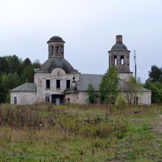
Церковь Николая (Палема)
175.2 km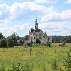
Saint Basil Church, Obradovo
155.4 km
Bobrishny Ugor reserve
74.4 kmReviews
Visited this place? Tap the stars to rate it and share your experience / photos with the community! Try now! You can cancel it anytime.
Discover hidden gems everywhere you go!
From secret cafés to breathtaking viewpoints, skip the crowded tourist spots and find places that match your style. Our app makes it easy with voice search, smart filtering, route optimization, and insider tips from travelers worldwide. Download now for the complete mobile experience.

A unique approach to discovering new places❞
— Le Figaro
All the places worth exploring❞
— France Info
A tailor-made excursion in just a few clicks❞
— 20 Minutes