
Gromoslavka, human settlement in Oktyabrsky District, Volgograd Oblast, Russia

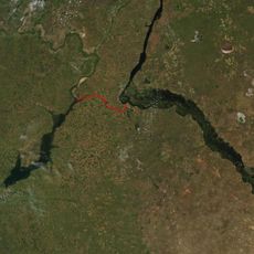
Volga–Don Canal
57 km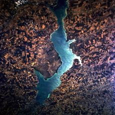
Tsimlyansk Reservoir
71.3 km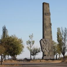
Lysaya Gora
75.5 km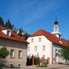
Old Sarepta
77.2 km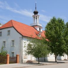
Kirche in Sarepta
77.2 km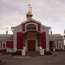
Church of St. Paraskeva Pyatnitsa in Volgograd
75.6 km
Karpovskoye Vodokhranilishche
50.8 km
Golubinskiye Peski
77.8 km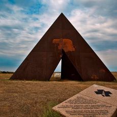
Spine
72.6 km
Connection of fronts monument
49.4 km
"Акватория"
74.8 km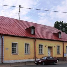
Thälmann Street 7, Volgograd
77.1 km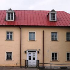
Dom aptekarya
77.1 km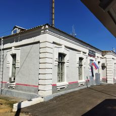
Железнодорожный вокзал станции Канальная (бывшая Тундутово)
62 km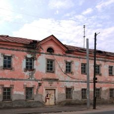
Hotel
77.1 km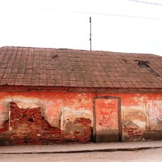
House
77 km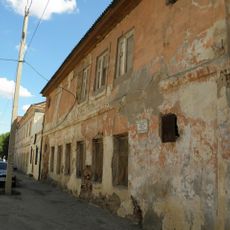
Distillery
77 km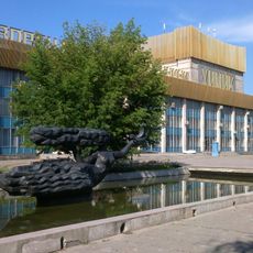
Palace of Culture and Sience "Chemist"
77.5 km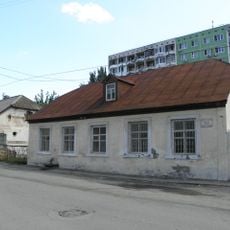
Thälmann Street 5, Volgograd
77.1 km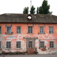
Bekker's House
77.1 km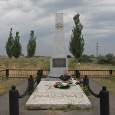
Mass grave on Lysaya Gora
76.1 km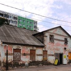
Thälmann Street 3, Volgograd
77.1 km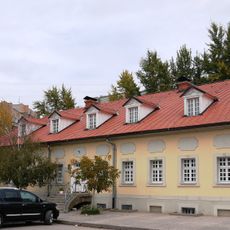
Obshchinnaya uprava
77.1 km
Single brothers house
77.2 km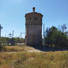
Водонапорная башня станции Канальная (бывшая Тундутово)
62.1 km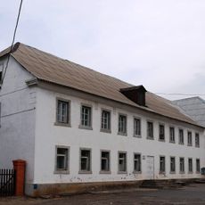
Dom nezamuzhnikh sester
77.2 km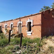
Residential buildings
61.9 km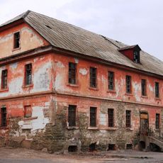
Dom pastora
77.1 kmReviews
Visited this place? Tap the stars to rate it and share your experience / photos with the community! Try now! You can cancel it anytime.
Discover hidden gems everywhere you go!
From secret cafés to breathtaking viewpoints, skip the crowded tourist spots and find places that match your style. Our app makes it easy with voice search, smart filtering, route optimization, and insider tips from travelers worldwide. Download now for the complete mobile experience.

A unique approach to discovering new places❞
— Le Figaro
All the places worth exploring❞
— France Info
A tailor-made excursion in just a few clicks❞
— 20 Minutes