
Кирельское сельское поселение, human settlement in Kamsko-Ustyinsky District, Republic of Tatarstan, Russia
Location: Kamsko-Ustyinsky District
Capital city: Tıba
GPS coordinates: 55.13478,49.13936
Latest update: March 18, 2025 13:53
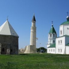
Bolghar Gord
18.3 km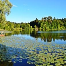
Volzhsko-Kamsky Nature Reserve
7.3 km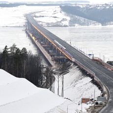
Мост через Волгу (М12)
49.9 km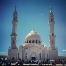
White Mosque
17.7 km
Gorki, Kazan
68.6 km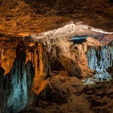
Yurievskaya Cave
12.4 km
Bolgar Historical and Archaeological Complex
18.1 km
Ascension Monastery, Kazan
67.9 km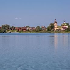
Arkhiyereyskoye Lake
46.4 km
Идел буе базары (Казан)
68.4 km
Syukeyevo Caves
8.3 km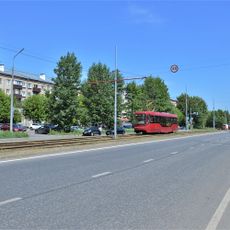
Улица Владимира Кулагина (Казань)
67.7 km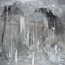
Gipsy-1
12.5 km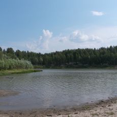
Chistoe Lake
51.2 km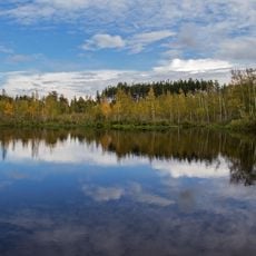
Mokhovoye Lake
52.4 km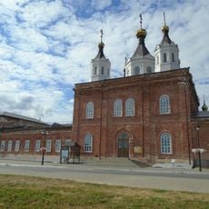
Собор Николая Чудотворца (Лаишево)
38.8 km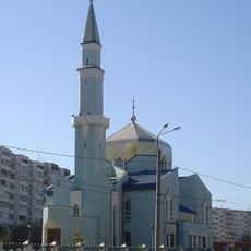
Xözäyfä Mosque
69 km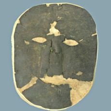
Танкеевский могильник
37.1 km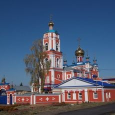
Церковь Троицы Живоначальной (Тетюши)
28.7 km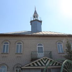
Utar Mosque
64.5 km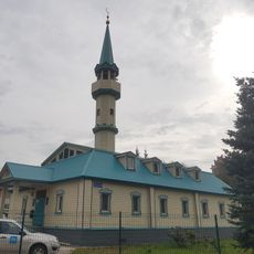
Ğädel Mosque
66.8 km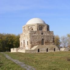
Black chamber
17.8 km
Педер Хузангай музее
61.3 km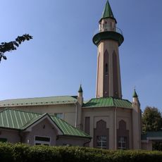
Tınıçlıq Mosque
63.1 km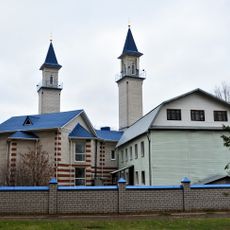
Rizvan Mosque
68.5 km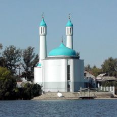
Şamil Mosque, Qazan
65.9 km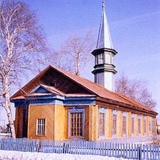
Xäyerbi Mosque
48.7 km
Тәтеш туган якны өйрәнү музее
29 kmReviews
Visited this place? Tap the stars to rate it and share your experience / photos with the community! Try now! You can cancel it anytime.
Discover hidden gems everywhere you go!
From secret cafés to breathtaking viewpoints, skip the crowded tourist spots and find places that match your style. Our app makes it easy with voice search, smart filtering, route optimization, and insider tips from travelers worldwide. Download now for the complete mobile experience.

A unique approach to discovering new places❞
— Le Figaro
All the places worth exploring❞
— France Info
A tailor-made excursion in just a few clicks❞
— 20 Minutes