
Міське поселення місто Тетюши
Міське поселення місто Тетюши, human settlement in Tetyushsky District, Republic of Tatarstan, Russia
Location: Tetyushsky District
Capital city: Täteş
GPS coordinates: 54.93333,48.83333
Latest update: March 16, 2025 16:49
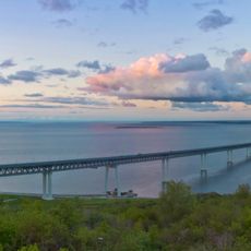
President Bridge
68.6 km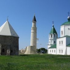
Bolghar Gord
14.9 km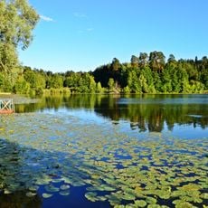
Volzhsko-Kamsky Nature Reserve
36.9 km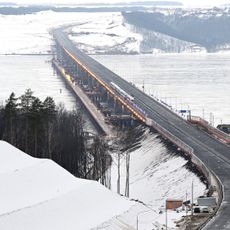
Мост через Волгу (М12)
71.5 km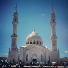
White Mosque
15 km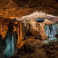
Yurievskaya Cave
41.9 km
Bolgar Historical and Archaeological Complex
15.1 km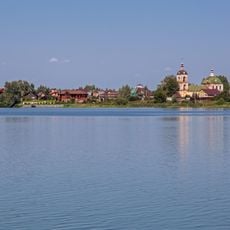
Arkhiyereyskoye Lake
71.5 km
Undorsky Mineral Spring
47.3 km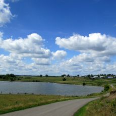
Beloye Lake
74.2 km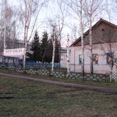
Undory Paleontology museum
46 km
Syukeyevo Caves
21.5 km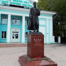
Kul Gali haykali, Ulyanovsk
72.2 km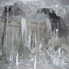
Gipsy-1
42 km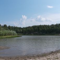
Chistoe Lake
75.7 km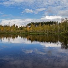
Mokhovoye Lake
77.5 km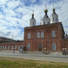
Собор Николая Чудотворца (Лаишево)
68.5 km
Танкеевский могильник
23.6 km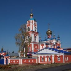
Церковь Троицы Живоначальной (Тетюши)
1.1 km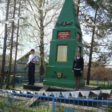
Бөек Ватан сугышы геройларына һәйкәл (Иске Чәчкаб)
69.7 km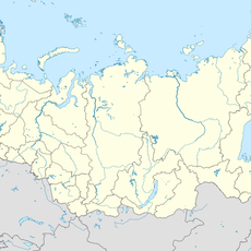
170 км (разъезд)
63.4 km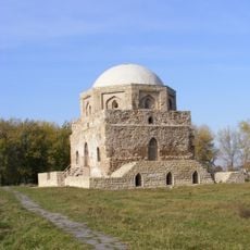
Black chamber
15.1 km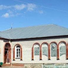
Педер Хузангай музее
68.1 km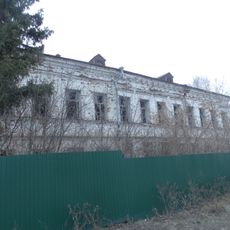
Алпавыт А.Е. Лебедев йорты
75.9 km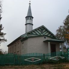
İske Çäçqap Mosque
69.6 km
Starochechkabsk rural library
69.3 km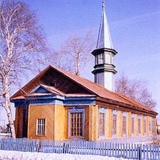
Xäyerbi Mosque
76.4 km
Тәтеш туган якны өйрәнү музее
779 mReviews
Visited this place? Tap the stars to rate it and share your experience / photos with the community! Try now! You can cancel it anytime.
Discover hidden gems everywhere you go!
From secret cafés to breathtaking viewpoints, skip the crowded tourist spots and find places that match your style. Our app makes it easy with voice search, smart filtering, route optimization, and insider tips from travelers worldwide. Download now for the complete mobile experience.

A unique approach to discovering new places❞
— Le Figaro
All the places worth exploring❞
— France Info
A tailor-made excursion in just a few clicks❞
— 20 Minutes