
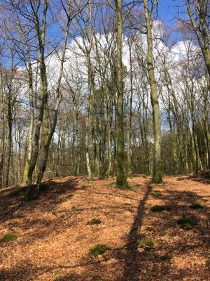
Stoms ås, nature reserve in Västra Götaland, Sweden
Location: Mark Municipality
Inception: July 13, 2012
GPS coordinates: 57.54696,12.55215
Latest update: March 6, 2025 06:59
Gemeinde Mark
8.5 km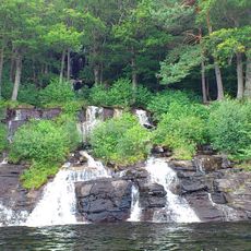
Ramhultafallet
9.7 km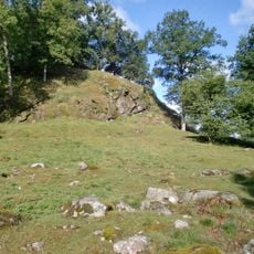
Örestens fästning
10.4 km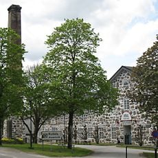
Rydals museum
8.5 km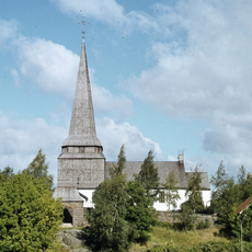
Skene Church
8.4 km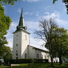
Örby Church
11.2 km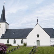
Sätila Church
7 km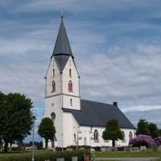
Hyssna Church
1.4 km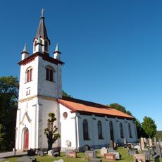
Fotskäls kyrka
8.9 km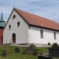
Hajoms kyrka
4.8 km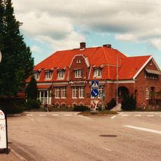
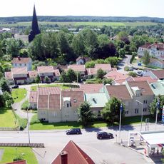
Kinna köping
9.6 km
Seglora gamla prästgård
11 km
Berghems kyrka
9.4 km
Lekvad
10.2 km
Smälteryd
8.3 km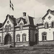
Marks tingslag
8.6 km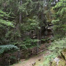
Liagärde
5.7 km
Melltorps kvarn och såg
1.8 km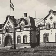
Marks domsaga
8.6 km
Björketorp 9:1
8.6 km
Björketorps kolerakyrkogård
11.7 km
Skämningared
4.7 km
Björketorp 7:1
8.7 km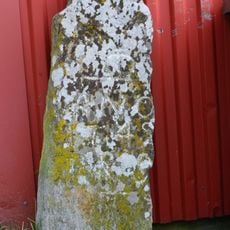
Björketorp 10:1
8.9 km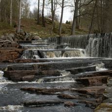
Ramsågen i Melltorp
1.4 km
Domareberget
11.6 km
Sätila kyrkas orgel by Jonas Wistenius
7 km
Stora Rör
10.4 kmReviews
Visited this place? Tap the stars to rate it and share your experience / photos with the community! Try now! You can cancel it anytime.
Discover hidden gems everywhere you go!
From secret cafés to breathtaking viewpoints, skip the crowded tourist spots and find places that match your style. Our app makes it easy with voice search, smart filtering, route optimization, and insider tips from travelers worldwide. Download now for the complete mobile experience.

A unique approach to discovering new places❞
— Le Figaro
All the places worth exploring❞
— France Info
A tailor-made excursion in just a few clicks❞
— 20 Minutes