
Älmteryd, nature reserve in Blekinge, Sweden
Location: Karlskrona Municipality
Inception: December 23, 2002
GPS coordinates: 56.27269,15.76279
Latest update: March 11, 2025 13:16


Lyckebyån
11.7 km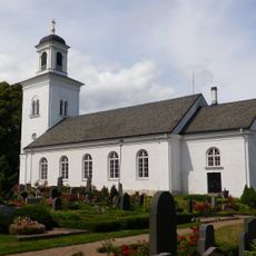
Lösens kyrka
9.6 km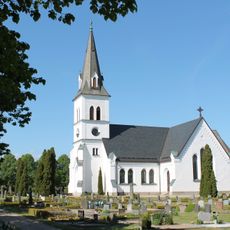
Rödeby Church
8.9 km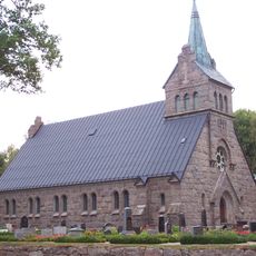
Flymens kyrka
7.4 km
Wämöparken
13.8 km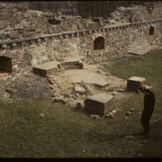
Lyckå slottsruin
11.2 km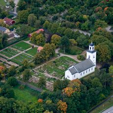
Lösen
9.5 km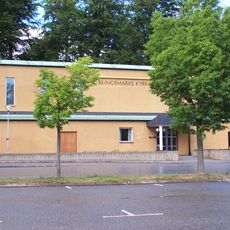
Kungsmarkskyrkan
12.4 km
Rödeby municipality
8.8 km
Lyckeåborg
7.9 km
Fridlevstad municipality
13.5 km
Kronokvarnen
10.6 km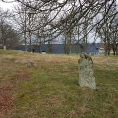
Karlskrona 68:1
10.9 km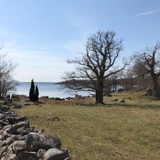
Knösö
13.4 km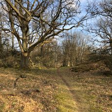
Ekebacken
10.5 km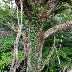
Prästamarken
10.7 km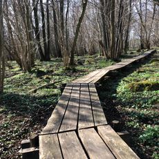
Björstorps hage
8.4 km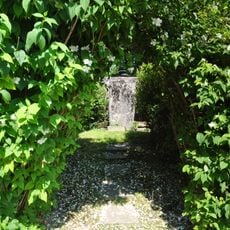
Lösen 13:2
9.6 km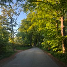
En lindalle? ca 100st Bastasjö gård
7.6 km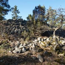
Lösen 31:1
7.9 km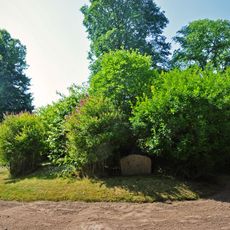
Lösen 13:1
9.6 km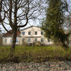
Augerums nya herrgård
8.2 km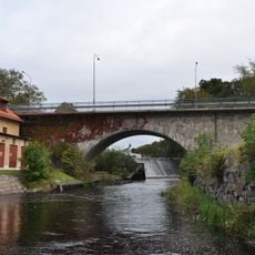
Lyckebybron
10.5 km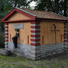
Lyckeby källa
10.6 km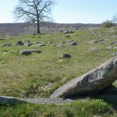
Jämjö 12:1
11.8 km
Karlskrona 54:2
14 km
Augerum 24:1
9.5 km
Karlskrona 53:1
14 kmReviews
Visited this place? Tap the stars to rate it and share your experience / photos with the community! Try now! You can cancel it anytime.
Discover hidden gems everywhere you go!
From secret cafés to breathtaking viewpoints, skip the crowded tourist spots and find places that match your style. Our app makes it easy with voice search, smart filtering, route optimization, and insider tips from travelers worldwide. Download now for the complete mobile experience.

A unique approach to discovering new places❞
— Le Figaro
All the places worth exploring❞
— France Info
A tailor-made excursion in just a few clicks❞
— 20 Minutes