
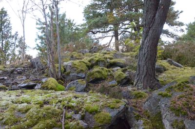
Ärtemark 46:1, röse i Dalsland
Location: Bengtsfors Municipality
GPS coordinates: 59.02753,12.23721
Latest update: March 6, 2025 21:42
Dalsland Canal
21.9 km
Gemeinde Bengtsfors
1.2 km
Gemeinde Åmål
22.1 km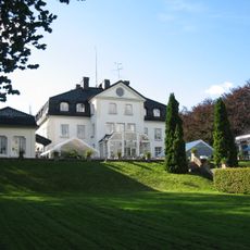
Baldersnäs
7.6 km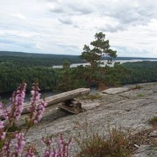
Sörknatten
18.9 km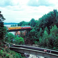
Mellerud–Arvika railway
207 m
Edsleskog old church
13.4 km
Lövåsvallen
4.5 km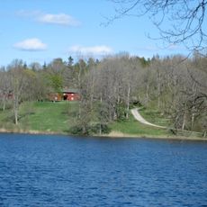
Skärbo
9.4 km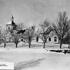
Dals-Eds kyrka
21.8 km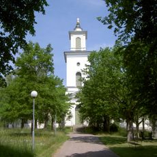
Tösse Church
22.8 km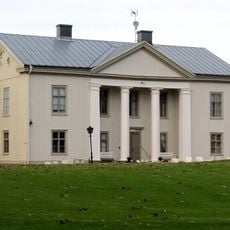
Forsbacka
22.9 km
Torrskog Church
18.2 km
Alltorps tingshus och häradshäkte
19.7 km
Gäserudsstugan
15.7 km
Tydje kapell
23.2 km
Edsleskogs prästgård
13.4 km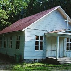
Gustavsfors kapell
19.4 km
Tingvallamossen
22.6 km
Hafsåsen
13.5 km
Tisselskog Högsbyn
17.4 km
Baldersnäs
7.4 km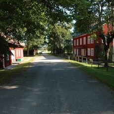
Vedbo tingslag
20 km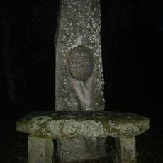
Sillerud 119:3
15.7 km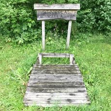
Saint Nicholaus holy well
13.2 km
Ödskölt 71:1
18.2 km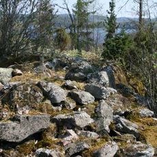
Slottskullen
15.4 km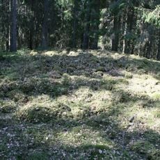
Ödskölt 14:1
16.5 kmReviews
Visited this place? Tap the stars to rate it and share your experience / photos with the community! Try now! You can cancel it anytime.
Discover hidden gems everywhere you go!
From secret cafés to breathtaking viewpoints, skip the crowded tourist spots and find places that match your style. Our app makes it easy with voice search, smart filtering, route optimization, and insider tips from travelers worldwide. Download now for the complete mobile experience.

A unique approach to discovering new places❞
— Le Figaro
All the places worth exploring❞
— France Info
A tailor-made excursion in just a few clicks❞
— 20 Minutes