
Sundbyberg 23:1, husgrund, förhistorisk/medeltida i Uppland
Location: Sundbyberg Municipality
GPS coordinates: 59.39045,17.95800
Latest update: March 5, 2025 23:54

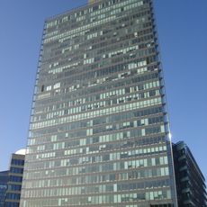
Kista Science Tower
1.4 km
Kista Torn
1.8 km
Helenelund
2.2 km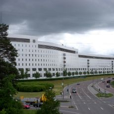
Bankhus 90
1.6 km
Filmstaden Kista
1.8 km
Tegelhagen
2.3 km
Rinkeby kvarnar
1.3 km
Kista Nod
2 km
Isafjord 1
1.6 km
Lötsjökapellet
2 km
Chapel at Överjärva
2.2 km
Jan Stenbecks torg
1.5 km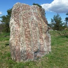
Eggeby stone
2.2 km
Statarlängan, Överjärva gård
2 km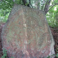
Uppland Runic Inscription 77
1.6 km
Fredens kyrka
1.7 km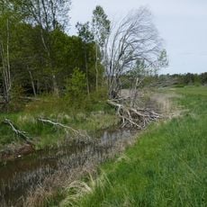
Igelbäcken i Sundbyberg
43 m
Uppland Runic Inscription 75
2.1 km
Randersgatan
1.2 km
Igelbäcken i Solna
1.5 km
Lötsjön-Golfängarna
2.3 km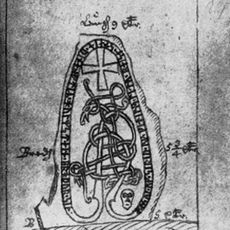
Uppland Runic Inscription 78
1.6 km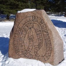
Uppland Runic Inscription 126
1.9 km
Uppland Runic Inscription 71
2.3 km
KTH Campus Kista
1.7 km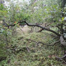
Solna 10:1
2 km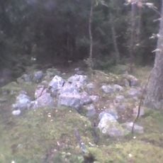
Sundbyberg 15:1
504 m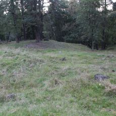
Solna 13:1
2.2 kmReviews
Visited this place? Tap the stars to rate it and share your experience / photos with the community! Try now! You can cancel it anytime.
Discover hidden gems everywhere you go!
From secret cafés to breathtaking viewpoints, skip the crowded tourist spots and find places that match your style. Our app makes it easy with voice search, smart filtering, route optimization, and insider tips from travelers worldwide. Download now for the complete mobile experience.

A unique approach to discovering new places❞
— Le Figaro
All the places worth exploring❞
— France Info
A tailor-made excursion in just a few clicks❞
— 20 Minutes