
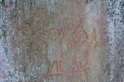
Riksbyristningen, Rock carving in Sweden, medieval or later
Location: Stockholm Municipality
GPS coordinates: 59.34267,17.94981
Latest update: March 8, 2025 05:42
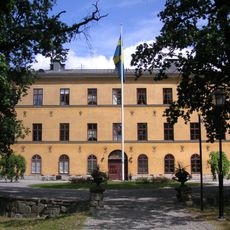
Ulvsunda Castle
825 m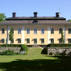
Åkeshov Castle
1.4 km
Stora Mossen
1.5 km
Villa Myrdal
1.3 km
Huvudstabron
1.7 km
Bällstaviken
1.5 km
Kyrksjölöten
1.6 km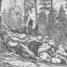
Huvudsta stenbrott
1.8 km
Ulvsundabron
1.2 km
Church at Brommaplan
593 m
Bergsryggen 22
920 m
Margretelund, Stockholm
1.4 km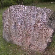
Uppland Runic Inscription 56
432 m
Famnen
772 m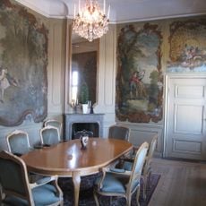
Agneta Wredes förmak
1.4 km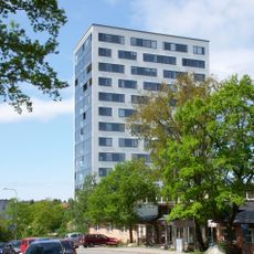
Brommahöjden
802 m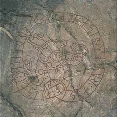
Uppland Runic Inscription 59
500 m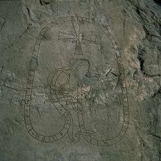
Upplands runinskrifter 58
499 m
(Linta gamla tomt)
445 m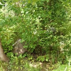
Bromma 15:1
508 m
Bromma 13:3
495 m
Bromma 14:1
456 m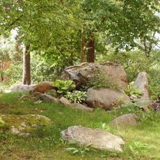
Bromma 154:1
810 m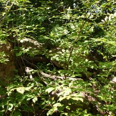
Bromma 12:5
517 m
Famnen
772 m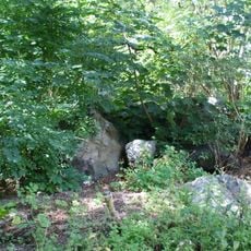
Bromma 12:4
548 m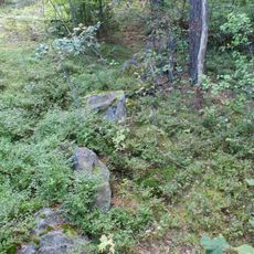
Stockholm 800
655 m
Bromma 6:1
692 mReviews
Visited this place? Tap the stars to rate it and share your experience / photos with the community! Try now! You can cancel it anytime.
Discover hidden gems everywhere you go!
From secret cafés to breathtaking viewpoints, skip the crowded tourist spots and find places that match your style. Our app makes it easy with voice search, smart filtering, route optimization, and insider tips from travelers worldwide. Download now for the complete mobile experience.

A unique approach to discovering new places❞
— Le Figaro
All the places worth exploring❞
— France Info
A tailor-made excursion in just a few clicks❞
— 20 Minutes