
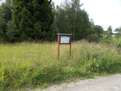
Venakärret, nature reserve in Örebro, Sweden
Location: Nora Municipality
Inception: November 29, 2016
GPS coordinates: 59.44793,14.82840
Latest update: March 11, 2025 19:46
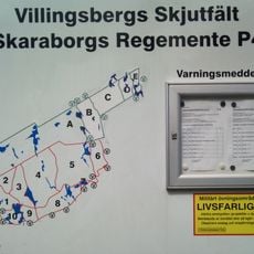
Villingsberg's shooting range
19 km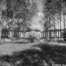
Hålahults sanatorium
16.3 km
Garphyttan National Park
19 km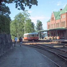
Nora Bergslags veteran railway
14.3 km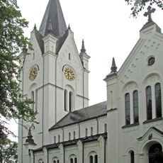
Nora Church
14.4 km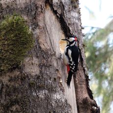
Ånnaboda
13.5 km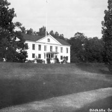
Hammarby
18.9 km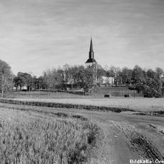
Kils kyrka
16.7 km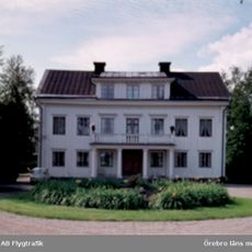
Frösvidal, Närke
15.7 km
Bergsängs gård
11.2 km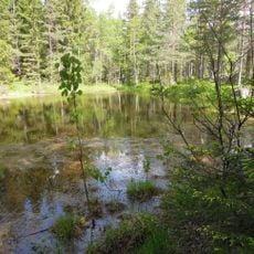
Skärmarbodabergen
16.7 km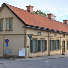
Göthlinska gården
14.4 km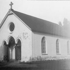
Karlsdals kapell
7.4 km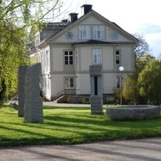
Åkerby sculpture park
17.2 km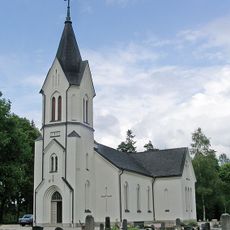
Vikers kyrka
3.7 km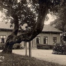
Knutsberg
12.7 km
Tavlans kapell
18.3 km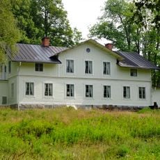
Dalkarlsbergs herrgård
2.9 km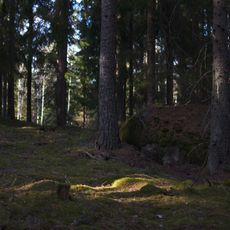
Trolldalen
11 km
Garphyttan industrial history museum
16.9 km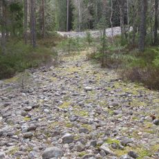
Lövbrickan
12.8 km
Lindes och Nora domsagas tingslag
13.6 km
Älvhytteängen
1.1 km
Ramshytte ängar
12.1 km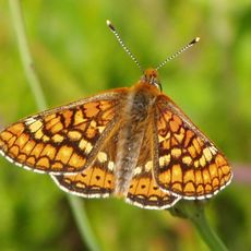
Röbergshagemossen
13.9 km
Åkaregården
14.2 km
Nora Kyrkoherdeboställe, komministeboställe, klockargård och församlingshem
14.5 km
Tistaborg
17.7 kmReviews
Visited this place? Tap the stars to rate it and share your experience / photos with the community! Try now! You can cancel it anytime.
Discover hidden gems everywhere you go!
From secret cafés to breathtaking viewpoints, skip the crowded tourist spots and find places that match your style. Our app makes it easy with voice search, smart filtering, route optimization, and insider tips from travelers worldwide. Download now for the complete mobile experience.

A unique approach to discovering new places❞
— Le Figaro
All the places worth exploring❞
— France Info
A tailor-made excursion in just a few clicks❞
— 20 Minutes