
Truedsholm, borgruin i Varbergs kommun
Location: Varberg Municipality
GPS coordinates: 57.07169,12.54614
Latest update: April 3, 2025 17:10
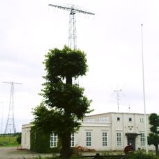
Grimeton VLF transmitter
10 km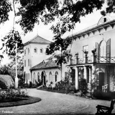
Öströö slott
2.7 km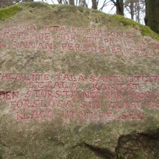
Bexells talande stenar
4.6 km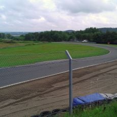
Falkenbergs Motorbana
10.8 km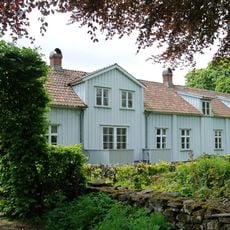
Ottersjö säteri
4.3 km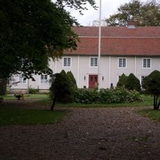
Hellerup
12 km
Högvadsån
9.1 km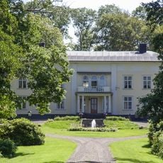
Torstorp
8.1 km
Höstena springs
9.4 km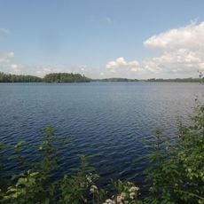
Ätraforsdammen
9.8 km
Skärbäck
2.3 km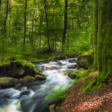
Gässlösa
9.1 km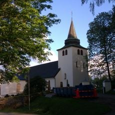
Rolfstorp Church
9.3 km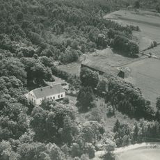
Hovgård säteri
8.8 km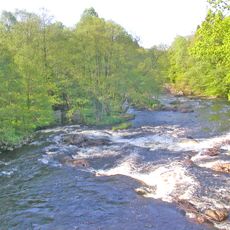
Sumpafallen
7.5 km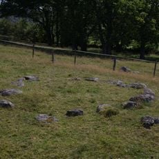
Högaberg
8.4 km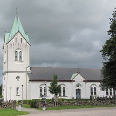
Tvååkers kyrka
9.3 km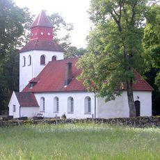
Dagsås
3.8 km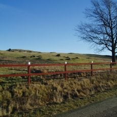
Broåsen
10.7 km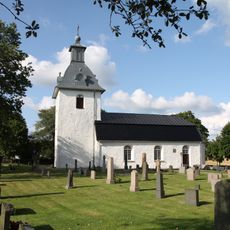
Askome Church
9.7 km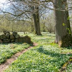
Bengtesgård meadow
11.7 km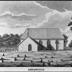
Gödestad gamla kyrka
11 km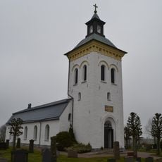
Spannarps kyrka
10.5 km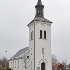
Hunnestad Church
11.5 km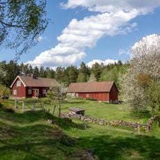
Björkekullen
4.9 km
Stora Drängabjär
2.6 km
Musasjön, public beach
12 km
Broåsen, Götriks ring
10.8 kmReviews
Visited this place? Tap the stars to rate it and share your experience / photos with the community! Try now! You can cancel it anytime.
Discover hidden gems everywhere you go!
From secret cafés to breathtaking viewpoints, skip the crowded tourist spots and find places that match your style. Our app makes it easy with voice search, smart filtering, route optimization, and insider tips from travelers worldwide. Download now for the complete mobile experience.

A unique approach to discovering new places❞
— Le Figaro
All the places worth exploring❞
— France Info
A tailor-made excursion in just a few clicks❞
— 20 Minutes