
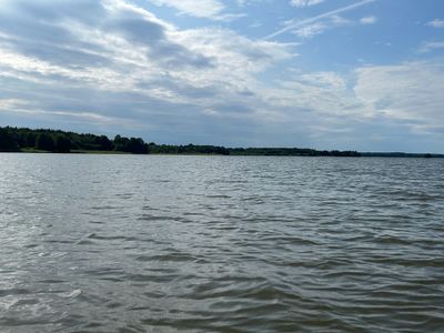
Tynnelsöfjärden, en fjärd mellan Tosterön och Selaön i Mälaren
Location: Strängnäs Municipality
Part of: Mälaren
Shares border with: Segeröfjärden, Morraröfjärden
GPS coordinates: 59.42917,17.07500
Latest update: April 10, 2025 18:56

Tynnelsö Castle
2.4 km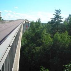
Strängnäs Bridge
5.1 km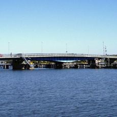
Tosterö Bridge
5.9 km
Södermanland Runic Inscription 174
6.3 km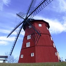
Strängnäs windmill
6.1 km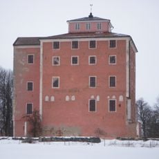
Tynnelsö Slot
2.4 km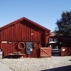
Grassagården
6.2 km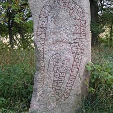
Södermanland Runic Inscription 328
5.8 km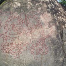
Sö 175
5.5 km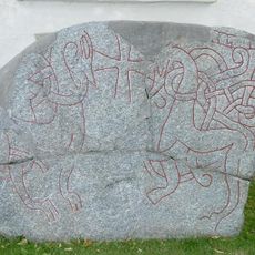
Södermanlands runinskrifter 377
3.4 km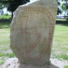
Sö 207
3.4 km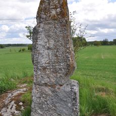
Södermanlands runinskrifter 214
4.8 km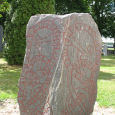
Sö 208
3.4 km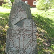
Södermanlands runinskrifter 210
4.6 km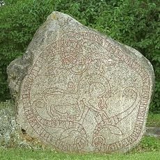
Sö 213
5.6 km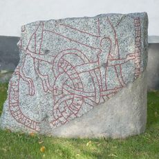
Sö 205
3.4 km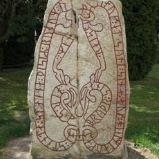
Sö 206
3.4 km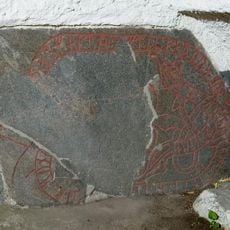
Sö 204
3.4 km
Tynnelsö Djurgård
3.3 km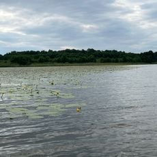
Tynnelsö Prästholmen
1.1 km
Aspö 114:2
5.8 km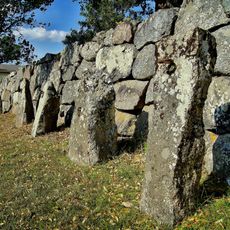
Litslena 179:1
6.2 km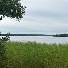
Segeröfjärden
5 km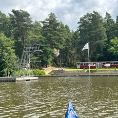
Public beach Algö, Ekebyviksbadet
3.6 km
Väderkvarnen i Strängnäs
6.1 km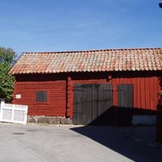
Gropgården
6.2 km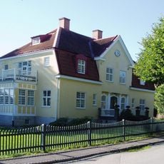
Kvarteret Generalen 8
6.3 km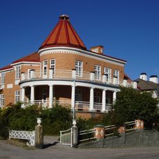
Villa Parma
6.3 kmVisited this place? Tap the stars to rate it and share your experience / photos with the community! Try now! You can cancel it anytime.
Discover hidden gems everywhere you go!
From secret cafés to breathtaking viewpoints, skip the crowded tourist spots and find places that match your style. Our app makes it easy with voice search, smart filtering, route optimization, and insider tips from travelers worldwide. Download now for the complete mobile experience.

A unique approach to discovering new places❞
— Le Figaro
All the places worth exploring❞
— France Info
A tailor-made excursion in just a few clicks❞
— 20 Minutes