
Derwentside District, former local government area in Co.Durham, England
Location: County Durham
Inception: April 1, 1974
Website: http://derwentside.gov.uk
GPS coordinates: 54.86700,-1.76000
Latest update: March 21, 2025 10:52
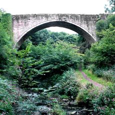
Causey Arch
5.7 km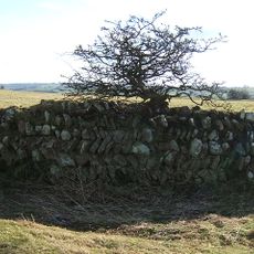
Longovicium
5.7 km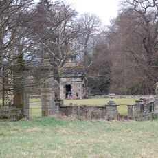
Hamsterley Hall
3.4 km
Vindomora
5.9 km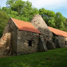
Derwentcote Steel Furnace
4.7 km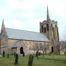
Church of St Andrew
4.2 km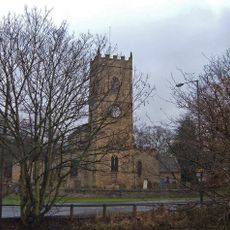
Church of All Saints
5.3 km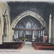
Church of St Mary Magdalene
4.1 km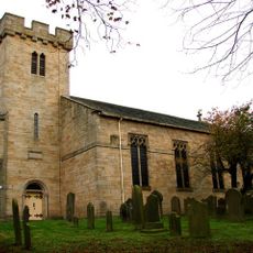
Church of St Margaret
4.4 km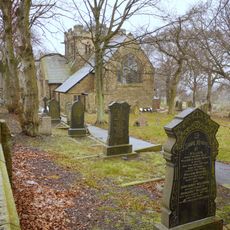
Church of St John
1 km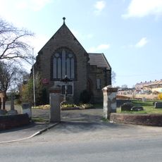
Church of St George
3.7 km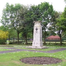
War Memorial in Annfield Plain Park
2 km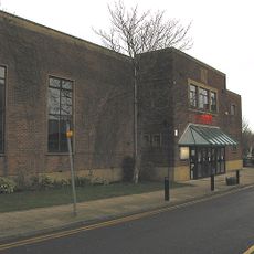
Lamplight Arts Centre
5.1 km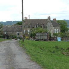
Pontop Hall
1.3 km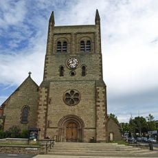
Christ Church, Consett
5 km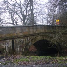
Pontburn Bridge
3.8 km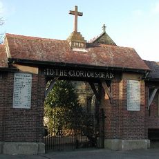
Burnhope War Memorial
5.3 km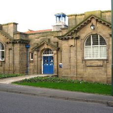
Annfield Plain Library
1.3 km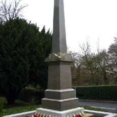
Burnopfield War Memorial
4.9 km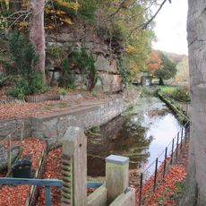
Mill Race Walls And Sluice With Piers And Sluice Keepers Shelter Adjacent
4.6 km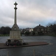
War Memorial at the Civic Centre
4.6 km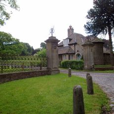
The Old Lodge At Hamsterley Hall And Wall Attached
3.8 km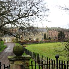
Derwent Oak Farm
4.3 km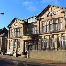
Derwentside Area Council Offices
4 km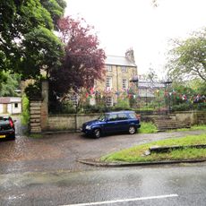
Tanfield Hall
4.5 km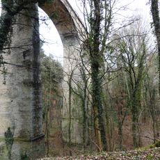
Pontburn Viaduct
3.9 km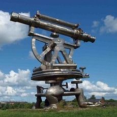
Terris Novalis
5.5 km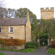
The Gatehouse
4.4 kmReviews
Visited this place? Tap the stars to rate it and share your experience / photos with the community! Try now! You can cancel it anytime.
Discover hidden gems everywhere you go!
From secret cafés to breathtaking viewpoints, skip the crowded tourist spots and find places that match your style. Our app makes it easy with voice search, smart filtering, route optimization, and insider tips from travelers worldwide. Download now for the complete mobile experience.

A unique approach to discovering new places❞
— Le Figaro
All the places worth exploring❞
— France Info
A tailor-made excursion in just a few clicks❞
— 20 Minutes