
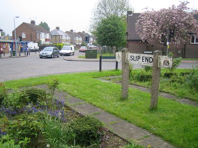
Slip End, village and civil parish in Bedfordshire, UK
Location: Central Bedfordshire
GPS coordinates: 51.85465,-0.43363
Latest update: March 13, 2025 06:49

Kenilworth Road
3.3 km
Luton Hoo
2.5 km
Stockwood Park
1.3 km
Luton Town Hall
3 km
Cell Park
2.4 km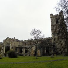
St Mary's Church, Luton
3.1 km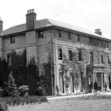
Caddington Hall
1.7 km
Mossman Collection
1.4 km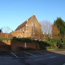
Our Lady Help of Christians Church, Luton
2.6 km
Luton Workhouse
3 km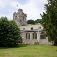
Church of All Saints
2.1 km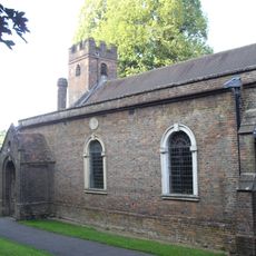
Church of St John the Baptist
2.6 km
Baptist Union Church
2.7 km
Saint Paul's Church
2.5 km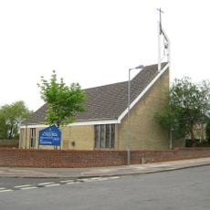
Saint John the Baptist, Farley Hill
2 km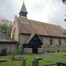
Church of St Andrew, Slip End
387 m
Saint Saviour's Church
2.4 km
Luton War Memorial
3 km
Luton Central Library
3.2 km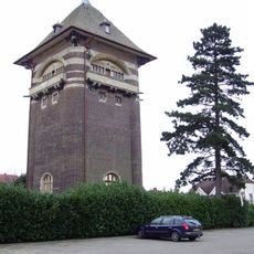
Bailey Hill Water Tower
2 km
Luton Library Theatre
3.2 km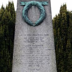
Luton Hoo War Memorial
1.9 km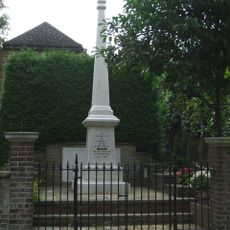
Markyate War Memorial
2.7 km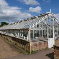
Glasshouses at Stockwood Park
1.4 km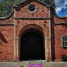
Stockwood House Stable Block
1.3 km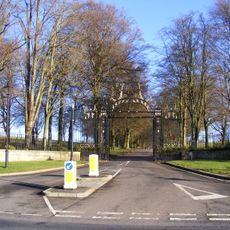
Gates Flanking Walls And Railings At London Road Lodge (New Lodge)
1.7 km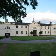
Luton Hoo Stables, Including Frontage Range And Rear Courtyard Buildings, Incorporating Stable Master's House
2.5 km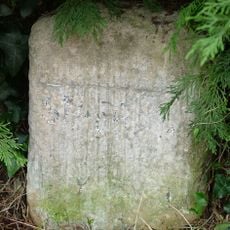
Milestone Opposite No 51
2.8 kmReviews
Visited this place? Tap the stars to rate it and share your experience / photos with the community! Try now! You can cancel it anytime.
Discover hidden gems everywhere you go!
From secret cafés to breathtaking viewpoints, skip the crowded tourist spots and find places that match your style. Our app makes it easy with voice search, smart filtering, route optimization, and insider tips from travelers worldwide. Download now for the complete mobile experience.

A unique approach to discovering new places❞
— Le Figaro
All the places worth exploring❞
— France Info
A tailor-made excursion in just a few clicks❞
— 20 Minutes