
Hanslope, village and civil parish in Buckinghamshire, UK
Location: City of Milton Keynes
Website: http://www.hanslope.org.uk/
Website: http://hanslope.org.uk
GPS coordinates: 52.11700,-0.82800
Latest update: March 27, 2025 13:04
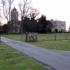
Gayhurst House
4.3 km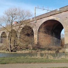
Wolverton Viaduct
5.1 km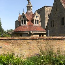
Former Servants Lavatory At Gayhurst House (part Of 12 Gayhurst Court Mews)
4.3 km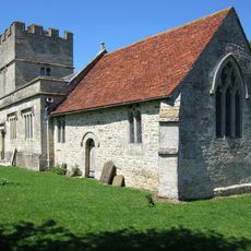
St Bartholomew's Church, Furtho
5.1 km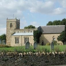
Church of St Simon and St Jude
2.7 km
Mill Crook
3.1 km
Grafton Regis Meadow
3.9 km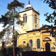
Church of St Peter
4.4 km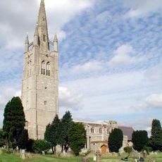
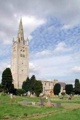
Church of St James the Great
458 m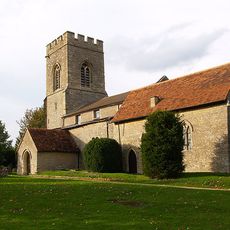
Church of St Peter
3.5 km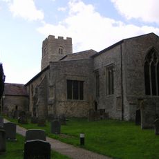
Parish Church of St Mary
5 km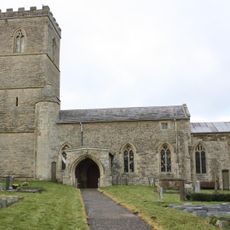
Church of St Mary the Virgin
4.5 km
Church of St Michael and All Angels
4.7 km
Church of St Peter and St Paul
4.9 km
Church of St John the Baptist
3.7 km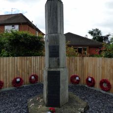
Hartwell War Memorial
3.7 km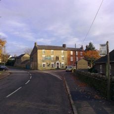
The Carrington Arms Public House
2.8 km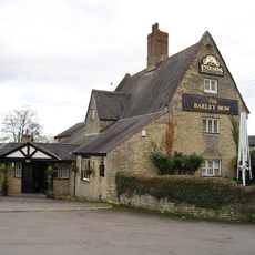
The Barley Mow Public House
4.7 km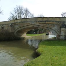
Bridge Number 65
4.6 km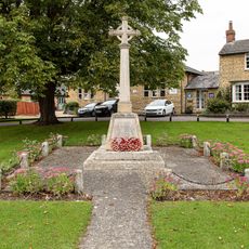
Stoke Goldington and Gayhurst War Memorial
3.7 km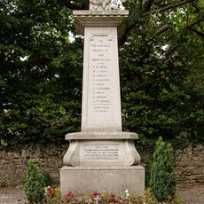
Castlethorpe War Memorial
2.7 km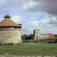
Dovecote At Manor Farm
5.1 km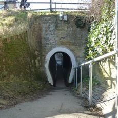
The Horse Tunnel
4.7 km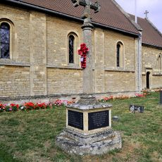
Hartwell War Memorial
3.7 km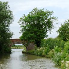
Grand Union Canal Bridge Number 63 At Sp 781 445
3.4 km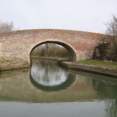
Grand Union Canal Bridge Number 56 At Sp 762 480
4.1 km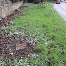
Milepost, Three Shires Way in Gayhurst Village, opp. The Old Cottage, 100m N of Sir Francis Drake PH and lane to Gayhurst Court
4.7 km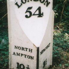
Milepost, SE of Stoke Goldington Village
4 kmReviews
Visited this place? Tap the stars to rate it and share your experience / photos with the community! Try now! You can cancel it anytime.
Discover hidden gems everywhere you go!
From secret cafés to breathtaking viewpoints, skip the crowded tourist spots and find places that match your style. Our app makes it easy with voice search, smart filtering, route optimization, and insider tips from travelers worldwide. Download now for the complete mobile experience.

A unique approach to discovering new places❞
— Le Figaro
All the places worth exploring❞
— France Info
A tailor-made excursion in just a few clicks❞
— 20 Minutes