
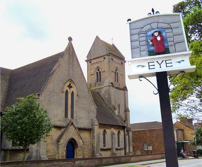
Eye, village and civil parish in Cambridgeshire, UK
Location: City of Peterborough
GPS coordinates: 52.60200,-0.20000
Latest update: March 7, 2025 12:09
Flag Fen
3.2 km
Thorney Abbey
6.6 km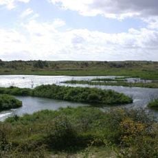
Dogsthorpe Star Pit
1.1 km
Eye Gravel Pit
1.9 km
Eye Green Nature Reserve
1.6 km
Flag Fen
3.1 km
Parish Church of All Saints
3.9 km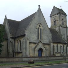
Church of St Matthew
1.2 km
Church of St Mary and St Botolph
6.6 km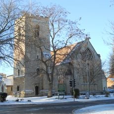
Church of All Saints
3.2 km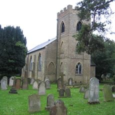
Church of St Bartholomew
4.3 km
Showcase Cinema de Lux Peterborough
3.4 km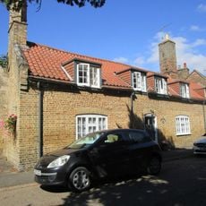
14,15 and 16, Church Street
6.6 km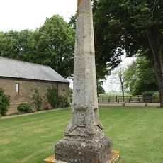
St Vincent's Cross
6.7 km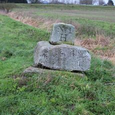
Kenulph's stone
7.3 km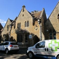
Thorney Library
6.6 km
41 And 43, Wisbech Road
6.8 km
Abbey Close
6.6 km
Cheriton House
6.6 km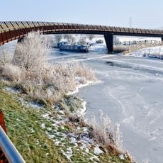
Shanks Millennium Bridge
3.9 km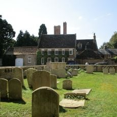
Thorney Abbey And Abbey House
6.6 km
42-52, Wisbech Road
6.8 km
A Bronze Age post alignment and timber platform at Flag Fen and associated Bronze Age and later field systems and settlement to
3.1 km
Churchyard Wall Church Of St Mary And St Botolph (Thorney Abbey)
6.7 km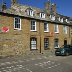
5 And 6, Abbey Place
6.6 km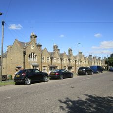
54-82, Wisbech Road
6.9 km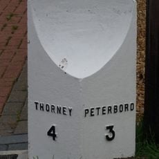
Milepost, Peterborough Road, by No. 54
402 m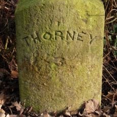
Milestone, Willow Hall, Willow Hall lane, before bend at Prior Farm
2.8 kmReviews
Visited this place? Tap the stars to rate it and share your experience / photos with the community! Try now! You can cancel it anytime.
Discover hidden gems everywhere you go!
From secret cafés to breathtaking viewpoints, skip the crowded tourist spots and find places that match your style. Our app makes it easy with voice search, smart filtering, route optimization, and insider tips from travelers worldwide. Download now for the complete mobile experience.

A unique approach to discovering new places❞
— Le Figaro
All the places worth exploring❞
— France Info
A tailor-made excursion in just a few clicks❞
— 20 Minutes