
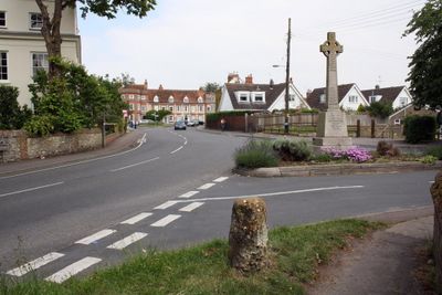
Benson, village and civil parish in South Oxfordshire, England
Location: South Oxfordshire
Shares border with: Berrick Salome, Warborough, Brightwell-cum-Sotwell, Crowmarsh, Nuffield, Ewelme
Website: http://parish-council.com/Benson
GPS coordinates: 51.62100,-1.11100
Latest update: March 9, 2025 19:24
Wallingford Castle
2.2 km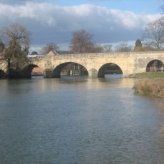
Wallingford Bridge
2.4 km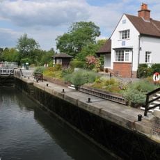
Benson Lock
689 m
Howbery Park
1.6 km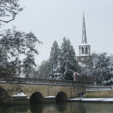
St Peter's Church, Wallingford
2.4 km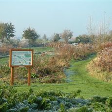
Ewelme Watercress Beds
2.3 km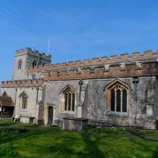
Church of St Mary, Ewelme
3 km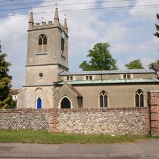
Church of St Helen
163 m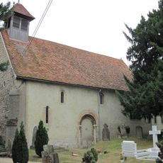
Church of St Mary Magdalene
2.4 km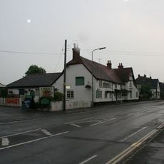
The Bell Inn
2.5 km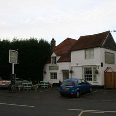
The Three Horseshoes Public House
53 m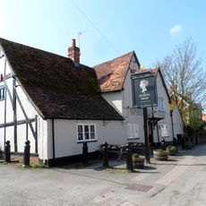
The Queens Head Public House
2.5 km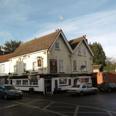
Town Arms Public House
2.3 km
The White Hart Hotel
41 m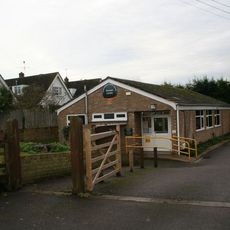
Benson Library
52 m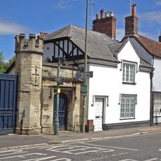
Number 100 And Attached Gateway
2.3 km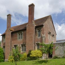
Ewelme Church Of England Primary School
3 km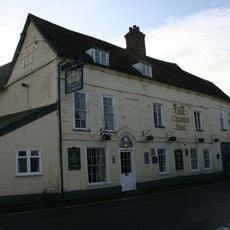
The Crown Hotel Public House And Barn
389 m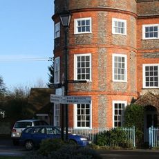
The Round House
95 m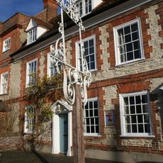
Inn sign approximately 2 metres to South West of numbers 15 and 17 (The Castle Inn Public House)
95 m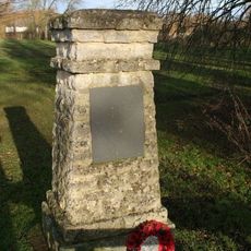
Lt A. J. Lester Memorial, Wallingford, Oxfordshire
2.4 km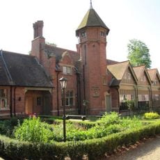
Stable Block Approximately 110 Metres North East Of Hydraulics Research Limited
1.5 km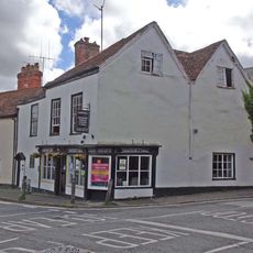
Stoney's Restaurant
2.4 km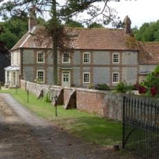
Ford's Farmhouse
2.9 km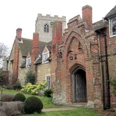
Gods Place, And Lobby To Church Of St Mary
3 km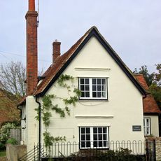
Castle Farmhouse
56 m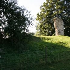
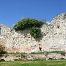
Fragment Of Castle Wall At Su 6096 8978
2.1 km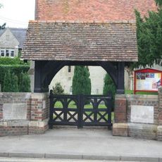
Crowmarsh Gifford War Memorial Lychgate
2.4 kmReviews
Visited this place? Tap the stars to rate it and share your experience / photos with the community! Try now! You can cancel it anytime.
Discover hidden gems everywhere you go!
From secret cafés to breathtaking viewpoints, skip the crowded tourist spots and find places that match your style. Our app makes it easy with voice search, smart filtering, route optimization, and insider tips from travelers worldwide. Download now for the complete mobile experience.

A unique approach to discovering new places❞
— Le Figaro
All the places worth exploring❞
— France Info
A tailor-made excursion in just a few clicks❞
— 20 Minutes