
North Ferriby, village in the United Kingdom
Location: East Riding of Yorkshire
GPS coordinates: 53.72003,-0.50781
Latest update: March 11, 2025 12:38
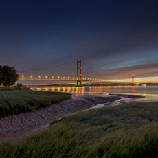
Humber Bridge
4.1 km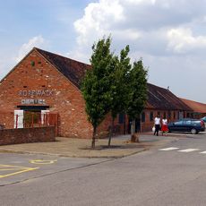
Ropewalk Barton upon Humber
5.2 km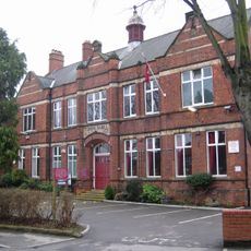
Hessle Town Hall
4.6 km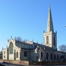
Church of All Saints
4.8 km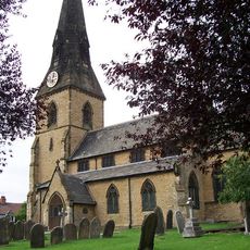
Church of All Saints
346 m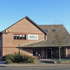
Hessle Library and Customer Service Centre
4.8 km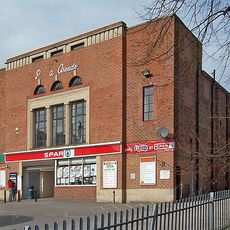
Plaza Cinema
4.8 km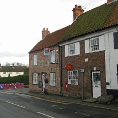
Post Office
2.2 km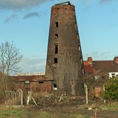
Windmill And Adjacent House To West
5.3 km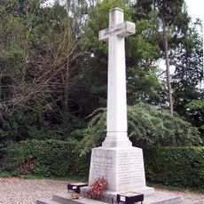
North Ferriby War Memorial
428 m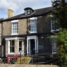
26, The Weir
4.6 km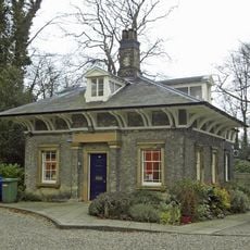
95, Ferriby Road
3.9 km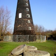
Cliff Mill
3.7 km
7, Northgate
4.7 km
11 And 13, The Square
4.8 km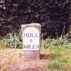
Milestone, Kemp Road, Swanland
1.9 km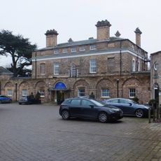
Hesslewood
3.2 km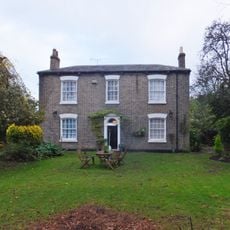
36, Northgate
4.8 km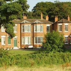
South Ferriby Hall
4.5 km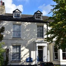
24, The Weir
4.6 km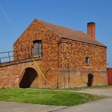
Mill House At William Blyth Ings Yard.
4.5 km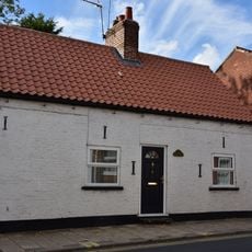
9, Northgate
4.7 km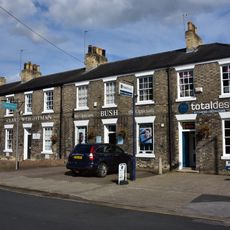
16-22, The Weir
4.6 km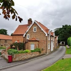
Woodside Farmhouse
4.7 km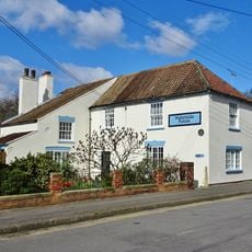
139, Waterside Road
5 km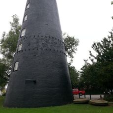
Tower mill and whiting works 100m south east of the Country Park Inn
3.7 km
Ferriby House
339 m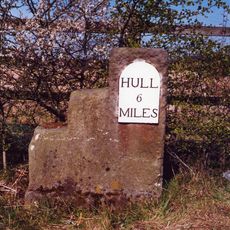
Milestone, NE verge of roundabout opposite Veterinary practice.
3.1 kmReviews
Visited this place? Tap the stars to rate it and share your experience / photos with the community! Try now! You can cancel it anytime.
Discover hidden gems everywhere you go!
From secret cafés to breathtaking viewpoints, skip the crowded tourist spots and find places that match your style. Our app makes it easy with voice search, smart filtering, route optimization, and insider tips from travelers worldwide. Download now for the complete mobile experience.

A unique approach to discovering new places❞
— Le Figaro
All the places worth exploring❞
— France Info
A tailor-made excursion in just a few clicks❞
— 20 Minutes