
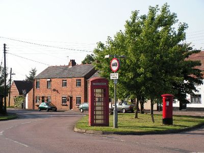
Lilbourne, village and civil parish in Northamptonshire, United Kingdom
Location: West Northamptonshire
GPS coordinates: 52.38637,-1.17156
Latest update: March 6, 2025 02:39

Stanford Hall, Leicestershire
3.3 km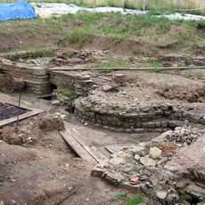
Tripontium
3.8 km
Dow Bridge
2.4 km
Stanford Park
3.1 km
Cave's Inn Pits
3.7 km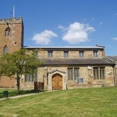
Church of Saint John the Baptist
3.7 km
Church of St Nicholas, Stanford on Avon
3.1 km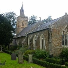
Church of St Andrew
2.9 km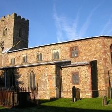
Church of All Saints
2.7 km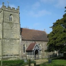
Church of All Saints
3.7 km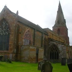
Church of St Margaret
4.9 km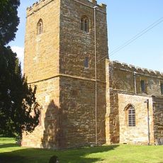
Church of All Saints
753 m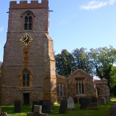
Church of All Saints
4.1 km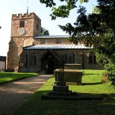
Church of St Mary the Virgin
3.4 km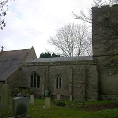
Church of St Thomas
1.9 km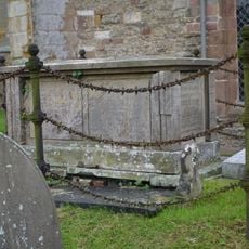
Chest Tomb Approximately 4 Metres North Of North East Corner Of Chancel At Church Of St Margaret
4.9 km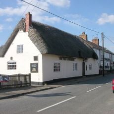
Stag And Pheasant Public House
3.6 km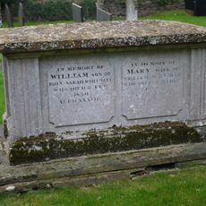
Chest Tomb Approximately 5 Metres South Of Chancel Of Church Of St Margaret
4.9 km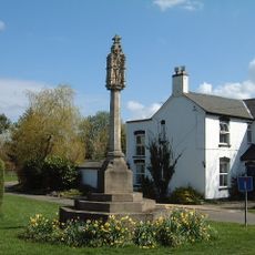
Yelvertoft War Memorial at Junction of Swinnertons Lane and High Street
3.5 km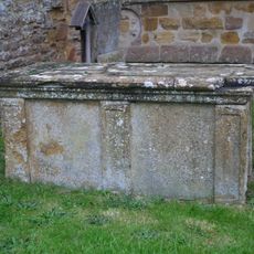
Chest Tomb Approximately 2 Metres South Of Chancel Of Church Of St Margaret
4.9 km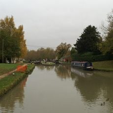
Hillmorton Bottom Lock (Locks 2 And 3), Former Oxford Canal
3.5 km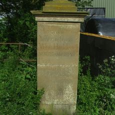
Milestone At Sp 5940 7789
3.1 km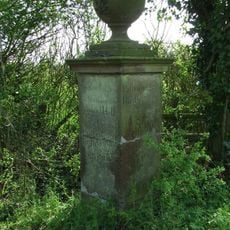
Milestone At Sp 5940 7789
3.1 km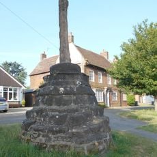
Hillmorton Village Cross
4.4 km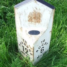
Milepost At National Grid Reference Sp 572897
3 km
Birdcage Bridge
4.9 km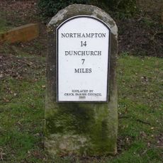
Milestone, Main Road, E of bridleway to Kilsby
4.9 km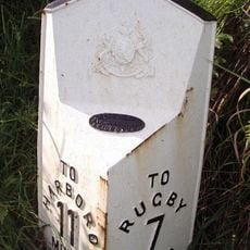
Milepost, Rugby Road; N of Gravel Hill
4.3 kmReviews
Visited this place? Tap the stars to rate it and share your experience / photos with the community! Try now! You can cancel it anytime.
Discover hidden gems everywhere you go!
From secret cafés to breathtaking viewpoints, skip the crowded tourist spots and find places that match your style. Our app makes it easy with voice search, smart filtering, route optimization, and insider tips from travelers worldwide. Download now for the complete mobile experience.

A unique approach to discovering new places❞
— Le Figaro
All the places worth exploring❞
— France Info
A tailor-made excursion in just a few clicks❞
— 20 Minutes