
Little Chart, civil parish and small village in Ashford in Kent, South East England
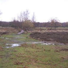
Hothfield Common
2.5 km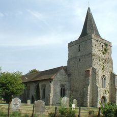
Church of St Margaret
2.8 km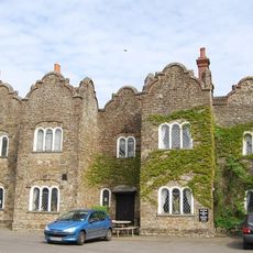
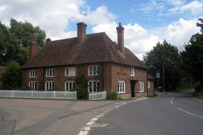
The Dering Arms Inn
3.4 km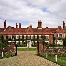
Pett Place
3.5 km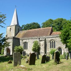
Church of St Nicholas
1.9 km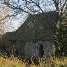
Chapel At Newlands Stud Farm
2.5 km
St Mary
53 m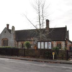
Pluckley Church Of England Primary School
2 km
The Thanet Arms Inn
2.7 km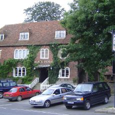
The Black Horse Inn
1.9 km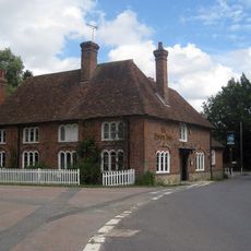
The Swan Inn And Former Stables
85 m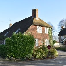
Tollgate House
1.7 km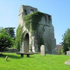
St Mary's Church (remains of)
1.3 km
Gore Court
2.2 km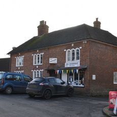
Premises Occupied By A G Homewood Butcher Street House
2 km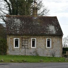
Gate Lodge To Former Surrenden Dering, 300 Metres To South East Of Church Of St Nicholas, Pluckley
1.9 km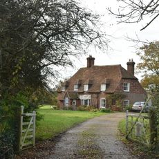
Rose Farmhouse
3.5 km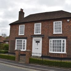
Clonmore
3.4 km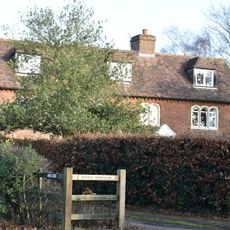
Munday Farmhouse
1.9 km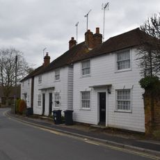
29-33, Station Road
3.4 km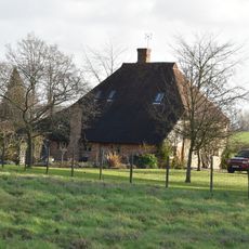
Payne Street
2.7 km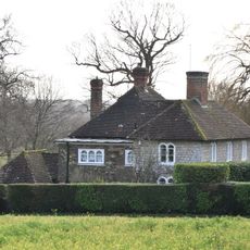
Rose Court
2.2 km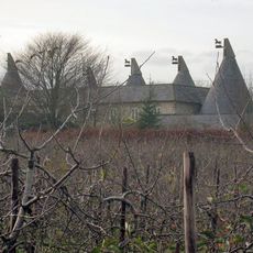
Granary And Oasthouse To The South-west Of Sheerland Farmhouse
1.2 km
The Old House
3.4 km
Cooper Farmhouse
3.5 km
Oasthouse Adjoining Bakers Mead
3 km
2 And 4, High Street
3.5 km
Digges Court
3.4 kmReviews
Visited this place? Tap the stars to rate it and share your experience / photos with the community! Try now! You can cancel it anytime.
Discover hidden gems everywhere you go!
From secret cafés to breathtaking viewpoints, skip the crowded tourist spots and find places that match your style. Our app makes it easy with voice search, smart filtering, route optimization, and insider tips from travelers worldwide. Download now for the complete mobile experience.

A unique approach to discovering new places❞
— Le Figaro
All the places worth exploring❞
— France Info
A tailor-made excursion in just a few clicks❞
— 20 Minutes