
Shottle and Postern, civil parish in Amber Valley, Derbyshire, England
Location: Amber Valley
Shares border with: Ashleyhay, Idridgehay and Alton, Turnditch, Windley, Hazelwood, Alderwasley
GPS coordinates: 53.03085,-1.53908
Latest update: March 2, 2025 22:59
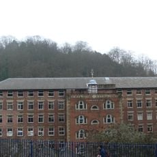
Derwent Valley Mills
3.4 km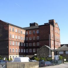
Belper North Mill
3.5 km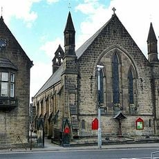
Christ Church
3.6 km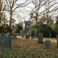
Church of St John the Evangelist
2.9 km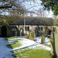
Church of All Saints
2.2 km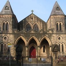
Belper Baptist Church
3.6 km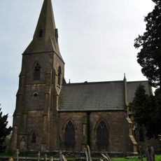
Church of St James
2.6 km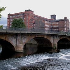
Belper Bridge
3.5 km
Christchurch Vicarage
3.6 km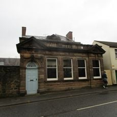
Savings Bank
3.6 km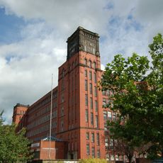
East Mill
3.6 km
Crossroads Farmhouse
2.7 km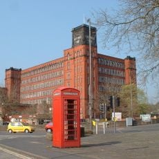
K6 Telephone Kiosk
3.6 km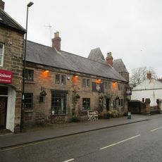
The Duke Of Devonshire Inn
3.7 km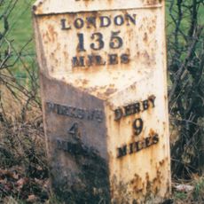
Milepost 500 Yds West South West Of The Junction Of Wirksworth Road And Calladine Lane
1.5 km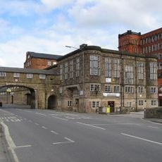
Road Archway And Footbridge (includes Offices Forming South Part Of Block In East Side Of Archway)
3.5 km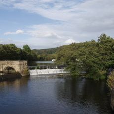
Belper River Weirs, Retaining Walls And Sluices To Belper River Weirs
3.5 km
41-47, Bridge Street
3.7 km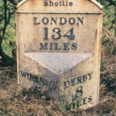
Milepost 200 Metres South East Of The Wirksworth And Ashbourne Road Crossroads
1.5 km
4-13, Crown Terrace
3.7 km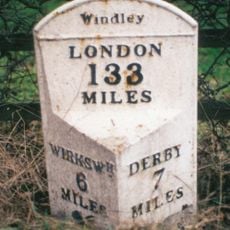
Mile Post At Os 313 454
2.9 km
134, Bridge Street
3.6 km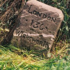
Milestone, Wilderbrook Lane jct
2.5 km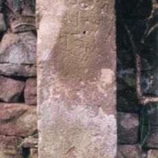
Milestone, Dalley Lane; The Dalley, outside Field House
2.5 km
Milestone, Farnah Green
2.9 km
Milepost, near Idridgehay Church
2.5 km
Milepost, Alton Manor
3.4 km
Milestone, Hazelwood Road jct (S of village)
3.7 kmReviews
Visited this place? Tap the stars to rate it and share your experience / photos with the community! Try now! You can cancel it anytime.
Discover hidden gems everywhere you go!
From secret cafés to breathtaking viewpoints, skip the crowded tourist spots and find places that match your style. Our app makes it easy with voice search, smart filtering, route optimization, and insider tips from travelers worldwide. Download now for the complete mobile experience.

A unique approach to discovering new places❞
— Le Figaro
All the places worth exploring❞
— France Info
A tailor-made excursion in just a few clicks❞
— 20 Minutes