
Lockerley, village in United Kingdom
Location: Test Valley
Website: http://communities.hants.gov.uk/lockerley-index/lockerley-communityinformation.htm
GPS coordinates: 51.03250,-1.57284
Latest update: March 9, 2025 07:28

Mottisfont Abbey
2.8 km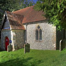
Borbach Chantry
4.7 km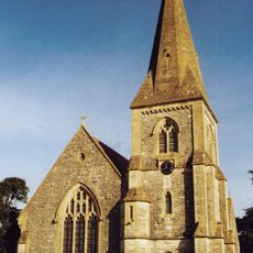
Church of St John
724 m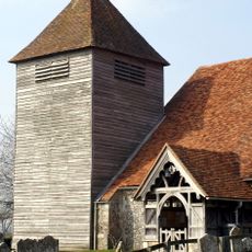
Church of St Mary
4.6 km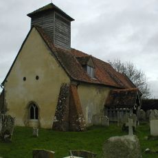
Church of St Andrew
4.7 km
Church of St Winfred
2.8 km
Church of St Margaret
5.6 km
Church of St Peter
3.1 km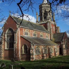
Church of St Leonard
3.8 km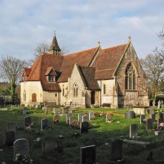
Church of All Saints
3.5 km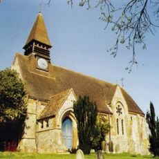
Church of St Mary, West Dean
4.5 km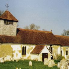
Church of St Andrew
2.7 km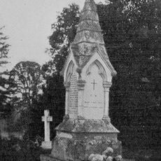
Churchyard Monument 18 Metres South Of St Margarets Church
5.6 km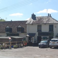
Hatchetts Inn
3.8 km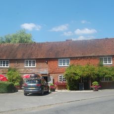
The Bear And Ragged Staff Public House
3.5 km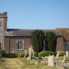
The Church of St Peter
4.6 km
Red Lion Public House
4.4 km
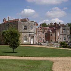
Melchet Court
4.8 km
The Malthouse Inn
4.2 km
West Dean War Memorial
4.5 km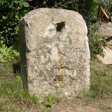
Milestone 150 Metres South East Of Dellens Farm, In Front Of Mile End
3.8 km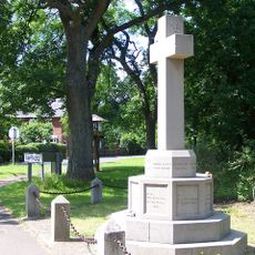
Awbridge War Memorial
2.7 km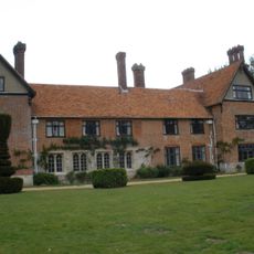
Stanbridge Earls
4.7 km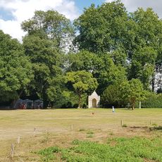
Summerhouse 100 Metres North East Of Mottisfont Abbey
2.9 km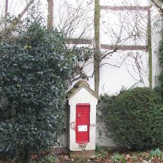
Letterbox Cottage Including Attached Post-Box To North
3.4 km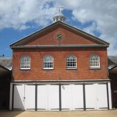
Stable Block
2.8 km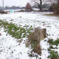
Milestone, Glebe Farm, jct Branches Lane
3.4 km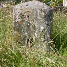
Milestone, Cross Roads by Post Office
3.8 kmReviews
Visited this place? Tap the stars to rate it and share your experience / photos with the community! Try now! You can cancel it anytime.
Discover hidden gems everywhere you go!
From secret cafés to breathtaking viewpoints, skip the crowded tourist spots and find places that match your style. Our app makes it easy with voice search, smart filtering, route optimization, and insider tips from travelers worldwide. Download now for the complete mobile experience.

A unique approach to discovering new places❞
— Le Figaro
All the places worth exploring❞
— France Info
A tailor-made excursion in just a few clicks❞
— 20 Minutes