
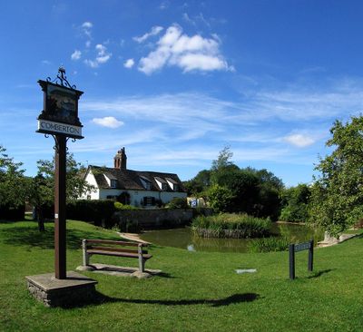
Comberton, village in the United Kingdom
Location: South Cambridgeshire
GPS coordinates: 52.18761,0.02405
Latest update: April 10, 2025 03:02
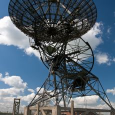
Mullard Radio Astronomy Observatory
2.3 km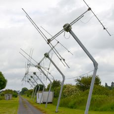
Cambridge Low Frequency Synthesis Telescope
2.3 km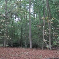
Madingley Wood
3.7 km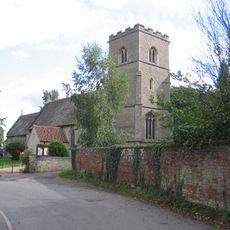
Church of St Peter
2.4 km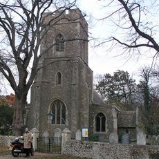
Parish Church of St Andrew
2.3 km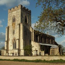
Church of St Mary
777 m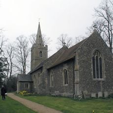
Parish Church of St Mary
2.6 km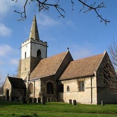
Church of St Peter
3.5 km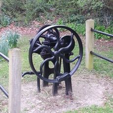
Village Pump South East Of Parish Church
2.6 km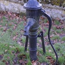
Water Pump In Street North Of Chancel Of Church Of St Peter
3.6 km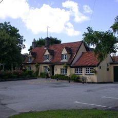
The Blue Lion
2.5 km
The Hoops Public House
2.3 km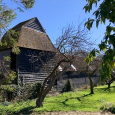
Dovecote, At Dovecote Barns
3.5 km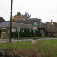
Dales Barn
2.2 km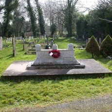
Coton War Memorial
3.5 km
Comberton Library
959 m
Morcott
403 m
65, High Street
2.7 km
The Old Plough
592 m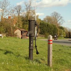
Pump
2.5 km
Birds Farmhouse
2.6 km
18, High Street
2.3 km
East Holme
358 m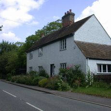
61, High Street
2.7 km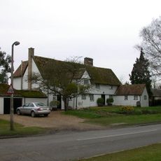
Pryors Hold
2.1 km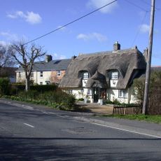
22, Haslingfield Road
2.6 km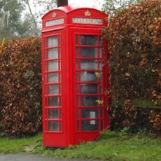
K6 Kiosk
2.5 km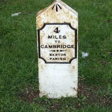
Milepost, Wimpole Road, E of Orchard Farm
2.3 kmReviews
Visited this place? Tap the stars to rate it and share your experience / photos with the community! Try now! You can cancel it anytime.
Discover hidden gems everywhere you go!
From secret cafés to breathtaking viewpoints, skip the crowded tourist spots and find places that match your style. Our app makes it easy with voice search, smart filtering, route optimization, and insider tips from travelers worldwide. Download now for the complete mobile experience.

A unique approach to discovering new places❞
— Le Figaro
All the places worth exploring❞
— France Info
A tailor-made excursion in just a few clicks❞
— 20 Minutes