
Binsted, village and civil parish in Hampshire, United Kingdom
Location: East Hampshire
Shares border with: Bentley
Website: https://binstedparishcouncil.org.uk
GPS coordinates: 51.16405,-0.89866
Latest update: March 9, 2025 07:12
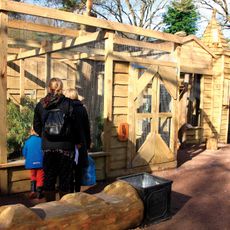
Birdworld
4.6 km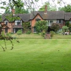
Pax Hill
3.2 km
Alice Holt Research Station
3.6 km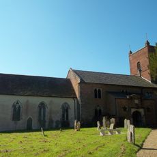
Church of St Mary of the Assumption
2.3 km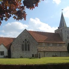
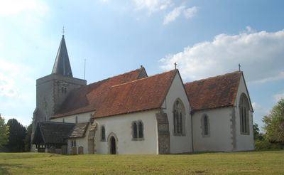
Church of the Holy Cross
176 m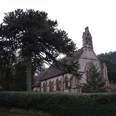
Church of All Saints
3.4 km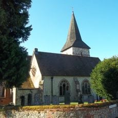
Holy Rood Church
3.9 km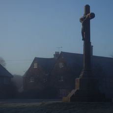
Binsted War Memorial
175 m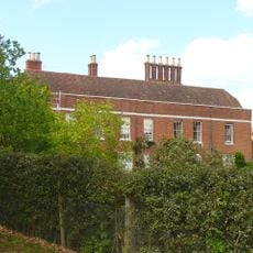
Coldrey
2.6 km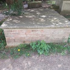
Table Tomb 6 Metres South Of St Mary's Church (Nave)
3.8 km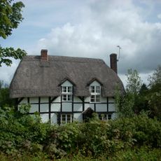
Fern Cottage
2.4 km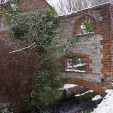
Anstey Mill
4.3 km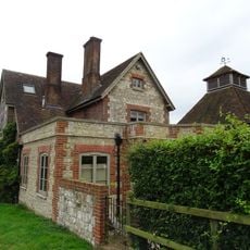
Clay's Farmhouse
3.3 km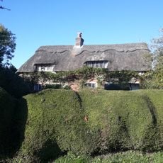
The Thatched Cottage
2 km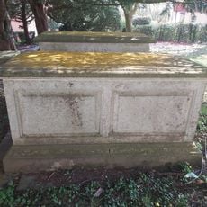
Table Tomb 10 Metres South Of St Mary's Church (Nave)
3.8 km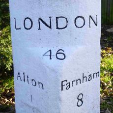
Milestone
3.9 km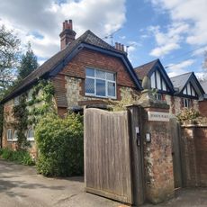
Jenkyn Place
3.5 km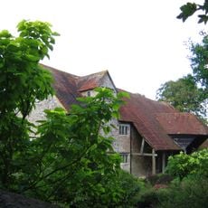
Barn 30 Metres South Of Mill Court
1.4 km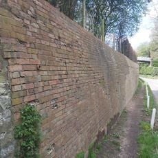
Boundary Wall East Of Jenkyn Place
3.6 km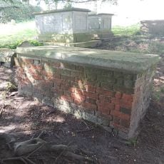
Table Tomb 15 Metres South Of St Mary's Church (Nave)
3.8 km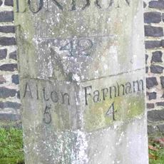
Milestone
3.3 km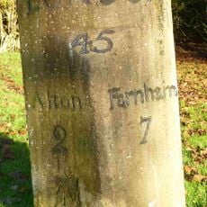
Bonham's Milestone
2.8 km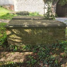
Table Tomb 7 Metres South Of St Mary's Church (Nave)
3.8 km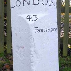
Milestone 120 Metres East Of Junction With Isington Lane
2.3 km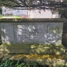
Table Tomb 12 Metres South Of St Mary's Church (Nave)
3.8 km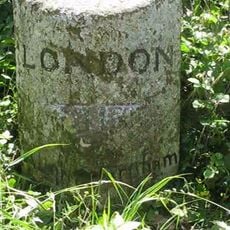
Milestone
4.5 km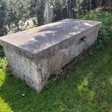
Table Tomb 21 Metres South Of St Mary's Church (Chancel)
3.8 km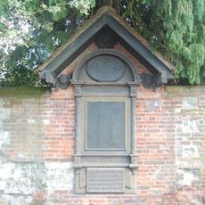
Holybourne WWI Memorial
3.8 kmReviews
Visited this place? Tap the stars to rate it and share your experience / photos with the community! Try now! You can cancel it anytime.
Discover hidden gems everywhere you go!
From secret cafés to breathtaking viewpoints, skip the crowded tourist spots and find places that match your style. Our app makes it easy with voice search, smart filtering, route optimization, and insider tips from travelers worldwide. Download now for the complete mobile experience.

A unique approach to discovering new places❞
— Le Figaro
All the places worth exploring❞
— France Info
A tailor-made excursion in just a few clicks❞
— 20 Minutes