
Delamere, village and former civil parish in Cheshire, England
Location: Delamere and Oakmere
GPS coordinates: 53.21670,-2.66667
Latest update: March 18, 2025 21:13
Eddisbury hill fort
401 m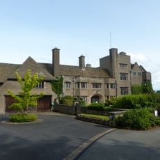
Tirley Garth
3 km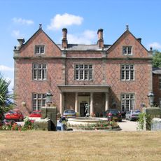
Willington Hall
3.8 km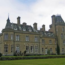
Oakmere Hall
3.7 km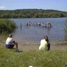
Hatchmere
3.1 km
Norley Hall
4.1 km
Kelsborrow Castle
2.9 km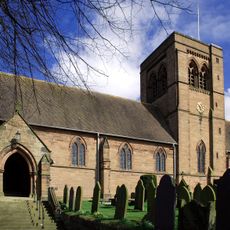
St John the Evangelist's Church, Norley
3.8 km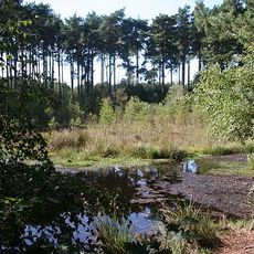
Black Lake Nature Reserve
2.6 km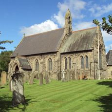
St Philip's Church, Kelsall
3.1 km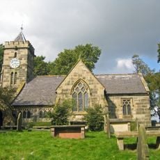
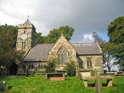
St Peter's Church, Delamere
653 m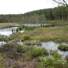
Abbotts Moss Nature Reserve
3.9 km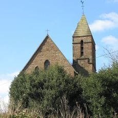
St John's Church, Cotebrook
3.8 km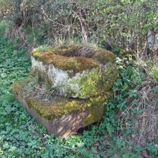
Cross base on south side of Longstone Lane 100m WNW of the entrance to Cobden Farm
3.2 km
16, Northgate
3.8 km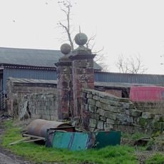
East garden walls and gatepiers to Utkinton Hall
4.4 km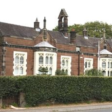
Delamere School
700 m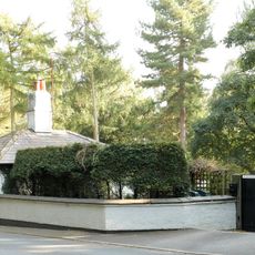
The Old Toll House
1.5 km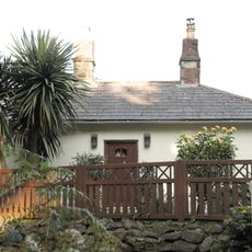
Kelsall Lodge
1.6 km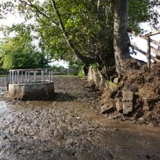
Terrace walls 70m north of Utkinton Hall
4.4 km
Kelsall Hall
2.8 km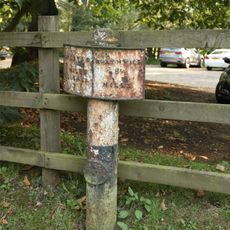
Milepost 45 Metres West Of Kelsall Lodge
1.6 km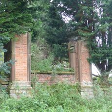
Roadside wall and gatepiers, and the west terrace walls at Utkinton Hall
4.4 km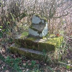
The Longstone, a part of a cross shaft on Longstone Lane at the junction with Shay's Lane
3.6 km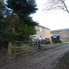
Barn 35 metres east of Utkinton Hall
4.4 km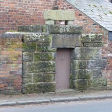
Lock up on the end of the barn at Weldon House
3.8 km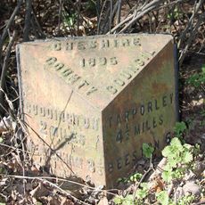
Milepost, Masseys Lodge; 100m S entrance
3.4 km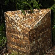
Milepost, Heathfield
3.3 kmReviews
Visited this place? Tap the stars to rate it and share your experience / photos with the community! Try now! You can cancel it anytime.
Discover hidden gems everywhere you go!
From secret cafés to breathtaking viewpoints, skip the crowded tourist spots and find places that match your style. Our app makes it easy with voice search, smart filtering, route optimization, and insider tips from travelers worldwide. Download now for the complete mobile experience.

A unique approach to discovering new places❞
— Le Figaro
All the places worth exploring❞
— France Info
A tailor-made excursion in just a few clicks❞
— 20 Minutes