
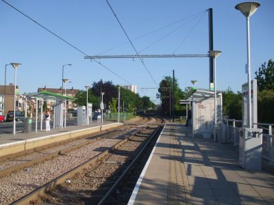
Fieldway, tramstop in New Addington, London Borough of Croydon, UK
Location: London Borough of Croydon
Official opening: 2000
Address: Lodge Lane, New Addington, Croydon, Surrey
GPS coordinates: 51.35090,-0.02421
Latest update: March 13, 2025 11:41
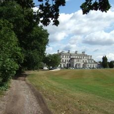
Addington Palace
1.4 km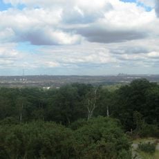
Addington Hills
2.7 km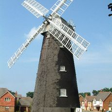
Shirley Windmill
2.9 km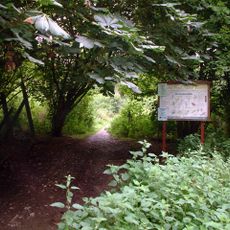
Selsdon Wood
2.1 km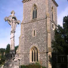
Church of St Mary Addington
1 km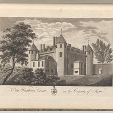
Wickham Court
2.1 km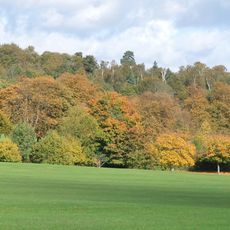
Addington Park
1.1 km
Hutchinson's Bank
1.5 km
Bramley Bank
2.4 km
New Addington Library
1.3 km
Heathfield
2.3 km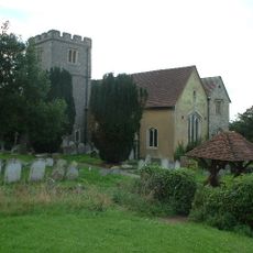
Church of St John the Baptist
2.1 km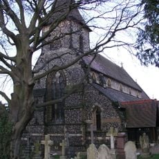
Church of St John
2.9 km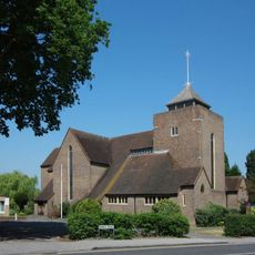
Church of All Saints
2.7 km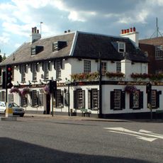
The Swan
2.9 km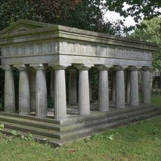
Monument To Members Of The Preston Family In North West Corner Of Churchyard Of St John
2.9 km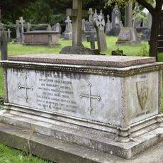
Tomb of parents of John Ruskin
2.9 km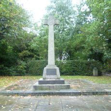
West Wickham War Memorial
2.5 km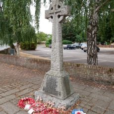
Addington War Memorial
988 m
77, Addington Road
2.6 km
St Edward King and Confessor
1.5 km
St Francis of Assisi
2.9 km
West Wickham Library
2.9 km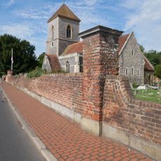
Walls Along South Boundary Of Churchyard Of Church Of St Mary
991 m
The Rectory
2.8 km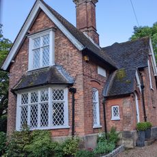
Lodge Opposite Wickham Court
2.2 km
Lych-gate to Church of St John the Baptist's Churchyard
2.1 km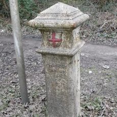
Coal Tax Post On The Junction Between King Henry's Drive And Boundary Line
2.6 kmReviews
Visited this place? Tap the stars to rate it and share your experience / photos with the community! Try now! You can cancel it anytime.
Discover hidden gems everywhere you go!
From secret cafés to breathtaking viewpoints, skip the crowded tourist spots and find places that match your style. Our app makes it easy with voice search, smart filtering, route optimization, and insider tips from travelers worldwide. Download now for the complete mobile experience.

A unique approach to discovering new places❞
— Le Figaro
All the places worth exploring❞
— France Info
A tailor-made excursion in just a few clicks❞
— 20 Minutes