
Fyfield, village and civil parish in Hampshire, UK
Location: Test Valley
Website: http://www.fyfieldparish.hampshire.org.uk/
Website: http://fyfieldparish.hampshire.org.uk
GPS coordinates: 51.21930,-1.57876
Latest update: March 9, 2025 08:13

Thruxton Circuit
1.8 km
Hawk Conservancy Trust
1.7 km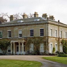
Redenham Park
2.6 km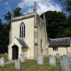
Church of St Peter in the Wood
2.4 km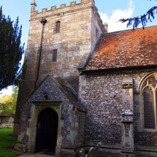
Church of St Peter and St Paul
1.3 km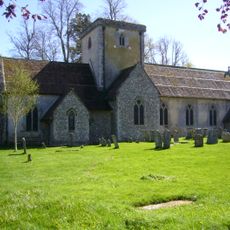
Church of St Mary
2.6 km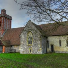
Church of St Peter and St Paul
1.4 km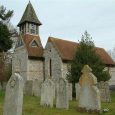
Church of St Michael and All Angels
2.2 km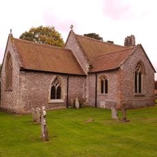
Holy Trinity Church
3.5 km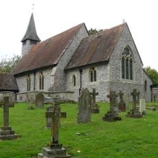
Church of St Mary
2.8 km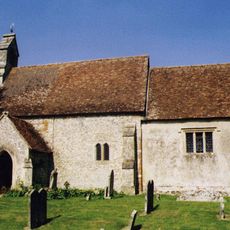
Church of St Nicholas
370 m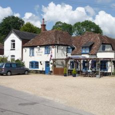
Walnut Tree Inn
2.3 km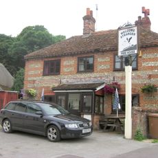
Kimpton Down Inn
1.6 km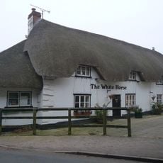
White Horse Inn
1.1 km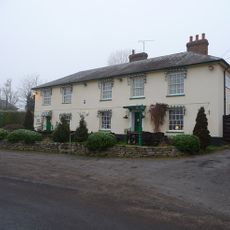
Amport Inn
2.5 km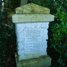
Weyhill Boer War Memorial
1.4 km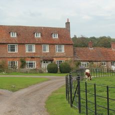
Biddesden Farmhouse
4.1 km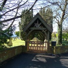
Weyhill War Memorial Lych Gate
2.2 km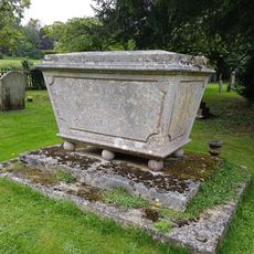
Table Tomb 5 Metres North Of Holy Trinity Church
3.5 km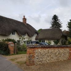
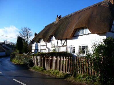
Thatches
3.6 km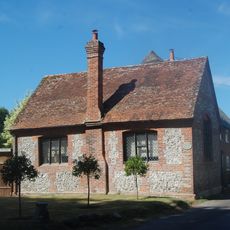
Newcott School House
2.8 km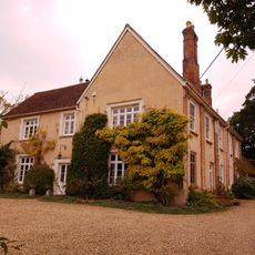
Manor House
3.5 km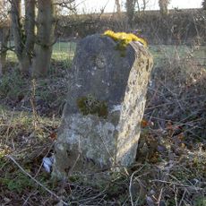
Milestone, Andover Lane Farm
3.2 km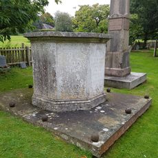
Table Tomb 3 Metres North West Of Holy Trinity Church
3.5 km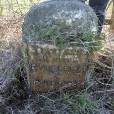
Milestone, Fyfield Lane
1 km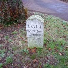
Milestone, Thruxton Village; opp. house named Gosling - relocated when by-pass built
1.3 km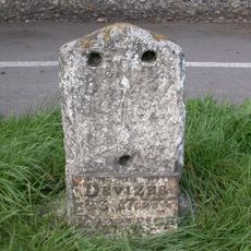
Milestone, Weyhill Road, Weyhill
2.2 km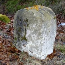
Milestone, East Lodge
1.8 kmReviews
Visited this place? Tap the stars to rate it and share your experience / photos with the community! Try now! You can cancel it anytime.
Discover hidden gems everywhere you go!
From secret cafés to breathtaking viewpoints, skip the crowded tourist spots and find places that match your style. Our app makes it easy with voice search, smart filtering, route optimization, and insider tips from travelers worldwide. Download now for the complete mobile experience.

A unique approach to discovering new places❞
— Le Figaro
All the places worth exploring❞
— France Info
A tailor-made excursion in just a few clicks❞
— 20 Minutes