
Hollins Green, village in Warrington, Cheshire, England
Location: Rixton-with-Glazebrook
GPS coordinates: 53.41330,-2.45666
Latest update: April 12, 2025 05:02

Manchester Ship Canal
1.2 km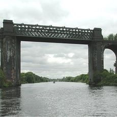
Cadishead Viaduct
2.3 km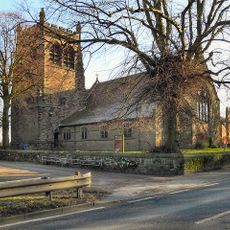
St Werburgh's Church, Warburton
1.8 km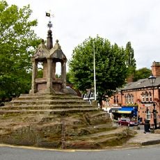
Lymm Cross
3.8 km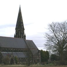
St Peter's Church, Oughtrington
3.7 km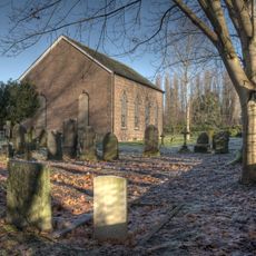
St George's Church, Carrington
3.6 km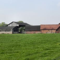
Bent Farmhouse, Warburton
1.8 km
16, Bridgewater Street
3.9 km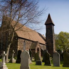
Church of St Mary
2.2 km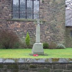
War Memorial in St Werburg's Churchyard
1.8 km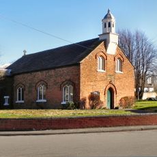
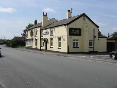
Church of St Helen
311 m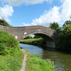
The Bridgewater Canal Grantham's Bridge
3.4 km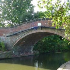
The Bridgewater Canal Lloyd Bridge
3.4 km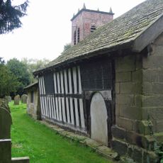
Old Church of Saint Werburg
1.2 km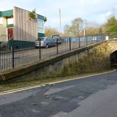
The Bridgewater Canal Bridgewater Street Aqueduct
3.8 km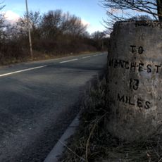
Milestone
1.5 km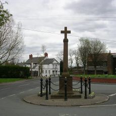
War Memorial
338 m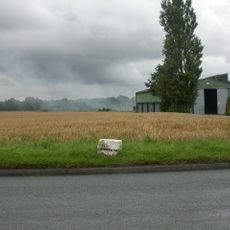
Milestone
3.1 km
The Bridgewater Canal Burford Lane Aqueduct
3.5 km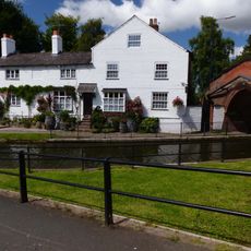
Number 1 with attached screen wall, steps and railings
3.8 km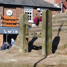
Stocks at Lymm Cross
3.8 km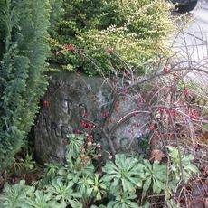
Milestone
94 m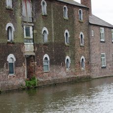
Burford Lane Warehouse And House Attached
3.6 km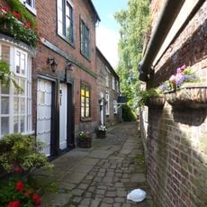
1A and 3, Lymm Bridge
3.8 km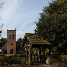
Lychgate, old church of Saint Werburg
1.2 km
Lymm Slitting Mill
3.7 km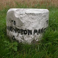
Milestone, Manchester Road; Rixton; 100m W Holly Bush Lane opp. No. 24
3.1 km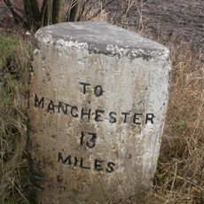
Milestone, Liverpool Road, almost opp. No. 252
1.5 kmReviews
Visited this place? Tap the stars to rate it and share your experience / photos with the community! Try now! You can cancel it anytime.
Discover hidden gems everywhere you go!
From secret cafés to breathtaking viewpoints, skip the crowded tourist spots and find places that match your style. Our app makes it easy with voice search, smart filtering, route optimization, and insider tips from travelers worldwide. Download now for the complete mobile experience.

A unique approach to discovering new places❞
— Le Figaro
All the places worth exploring❞
— France Info
A tailor-made excursion in just a few clicks❞
— 20 Minutes