
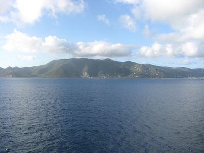
Mount Sage, mountain in the British Virgin Islands
Location: British Virgin Islands
Elevation above the sea: 521 m
GPS coordinates: 18.40983,-64.65579
Latest update: March 3, 2025 07:13
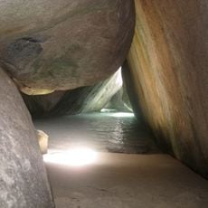
The Baths
22.3 km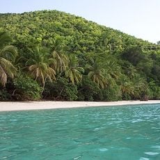
Gibney Beach
14.2 km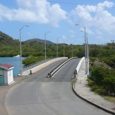
Queen Elizabeth II Bridge, British Virgin Islands
11.4 km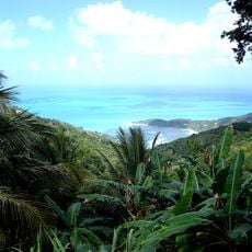
Sage Mountain National Park
1.3 km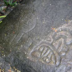
Reef Bay Trail petroglyphs
12.6 km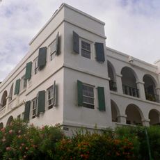
Government House
4.4 km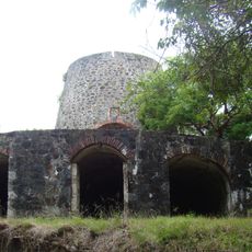
Catherineberg Sugar Mill Ruins
13.2 km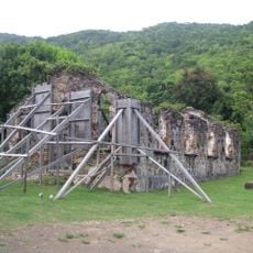
St. Phillip's Church
6.4 km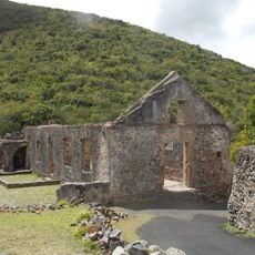
Annaberg Historic District
9.2 km
Fort George
5.5 km
Fort Charlotte
3.5 km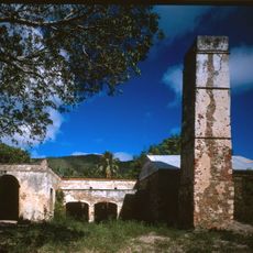
Reef Bay Sugar Factory Historic District
13.3 km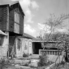
Mary Point Estate
10.2 km
Fort Purcell
1.9 km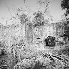
Fortsberg
8.9 km
Whelk Point Fort
9.1 km
Lind Point Fort
17.1 km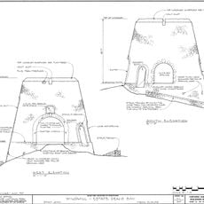
Dennis Bay Historic District
14.2 km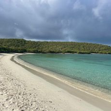
Salt Pond Beach
12.4 km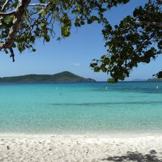
Lindquist Beach
22.6 km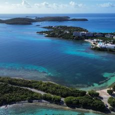
Turquoise Beach
22 km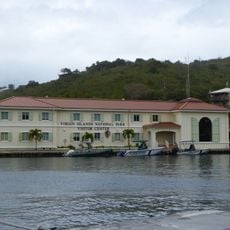
Cruz Bay Visitor Center
16.9 km
Waterlemon Cay Beach
8.6 km
Saint Mary's Creek Beach
10 km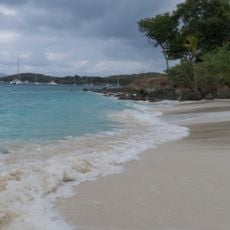
Salomon Beach
16.7 km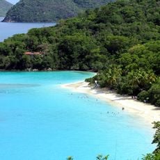
Trunk Beach
13.7 km
Maho Bay Beach
11.4 km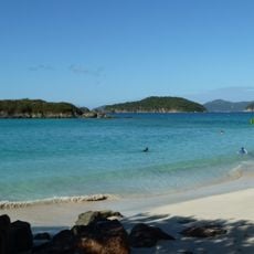
Little Cinnamon Bay Beach
12.3 kmReviews
Visited this place? Tap the stars to rate it and share your experience / photos with the community! Try now! You can cancel it anytime.
Discover hidden gems everywhere you go!
From secret cafés to breathtaking viewpoints, skip the crowded tourist spots and find places that match your style. Our app makes it easy with voice search, smart filtering, route optimization, and insider tips from travelers worldwide. Download now for the complete mobile experience.

A unique approach to discovering new places❞
— Le Figaro
All the places worth exploring❞
— France Info
A tailor-made excursion in just a few clicks❞
— 20 Minutes