
Llangynwyd Lower, community in Bridgend County Borough
Location: Bridgend County Borough
GPS coordinates: 51.55770,-3.63094
Latest update: March 4, 2025 07:13
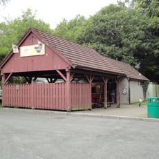
Bryngarw Country Park
3.5 km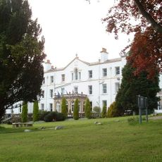
Court Colman Manor
3.9 km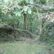
Llangynwyd Castle
3.6 km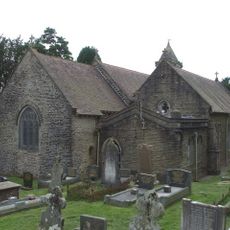
Church Of St David, Bettws
3.1 km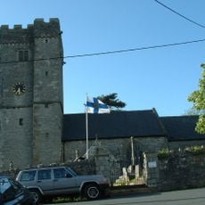
St David's Church
5.7 km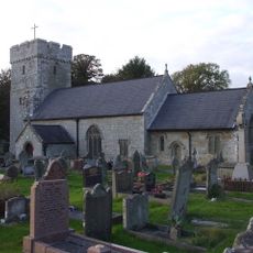
St James's Church
5.3 km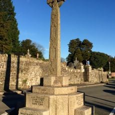
The Hopcyn Cross
3.5 km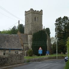
Church of All Saints, Pen-y-Fai
4.4 km
Pen y Castell, Kenfig Hill
4 km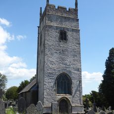
St Cynwyd's Church
3.5 km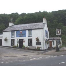
Nicholls Arms PH
2.1 km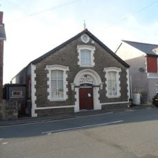
The Talbot Institute
4.2 km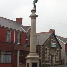
Kenfig Hill War Memorial
4.2 km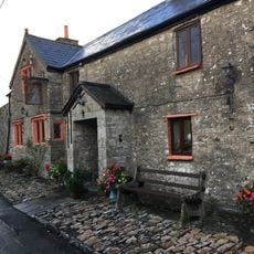
The Laleston Inn
5.7 km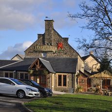
The Pheasant
4.4 km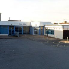
Pyle Life Centre
5.2 km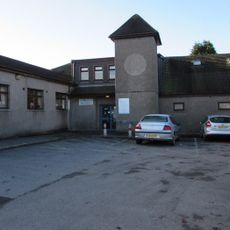
Betws Library
3.1 km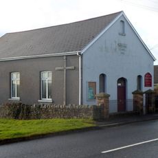
Wesleyan Methodist Chapel
3.6 km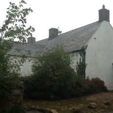
Maendy
4.1 km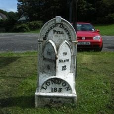
Mile marker on A48, Pyle to Margam Road
5.2 km
Caer Blaen-y-cwm, Margam
4.4 km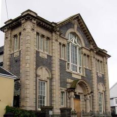
Tabor Welsh Calvinistic Methodist Chapel
5.7 km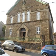
Canaan Independent Chapel
5.8 km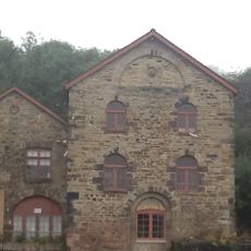
Former Blast Engine Houses At Tondu Ironworks
2.4 km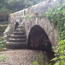
Glan Rhyd Railway Viaduct
4 km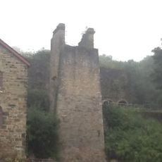
Calcining Kilns And Attached Abutment At Tondu Ironworks
2.4 km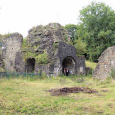
Cefn Cribwr Ironworks, The Furnace And Charging House
2.9 km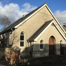
Ainon Welsh Baptist Chapel
3.4 kmReviews
Visited this place? Tap the stars to rate it and share your experience / photos with the community! Try now! You can cancel it anytime.
Discover hidden gems everywhere you go!
From secret cafés to breathtaking viewpoints, skip the crowded tourist spots and find places that match your style. Our app makes it easy with voice search, smart filtering, route optimization, and insider tips from travelers worldwide. Download now for the complete mobile experience.

A unique approach to discovering new places❞
— Le Figaro
All the places worth exploring❞
— France Info
A tailor-made excursion in just a few clicks❞
— 20 Minutes