
Mumby, human settlement in United Kingdom
Location: East Lindsey
Shares border with: Huttoft
GPS coordinates: 53.24370,0.27018
Latest update: March 8, 2025 06:11


Alford Windmill
6.2 km
Skegness Stadium
6.4 km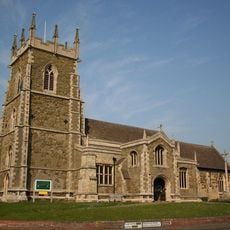
St. Wilfrid's Church, Alford
6.3 km
Corn Exchange
6.3 km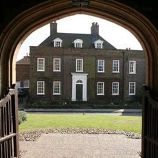
Hanby Hall
6.1 km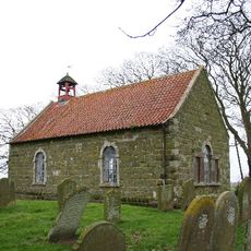
Church of St Andrew
5.4 km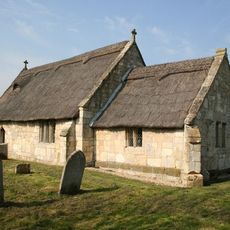
Church of St Peter
5.4 km
Church of St Thomas of Canterbury
179 m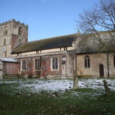
Church of St Mary
2.7 km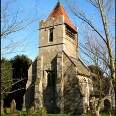
Church of St Leonard
4.3 km
Church of the Holy Trinity
5.5 km
Church of St Nicholas
6.2 km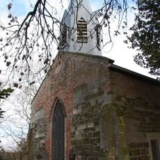
Church of St Helen
1.1 km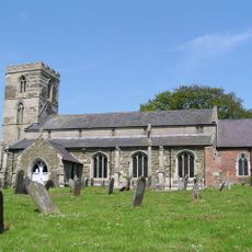
Church of St Margaret
2.2 km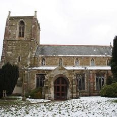
Church of St Helen
4.8 km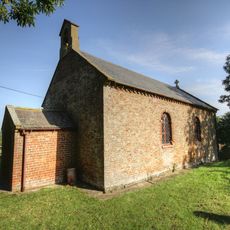
Church of St Andrew
4.1 km
8, Church Street
6.2 km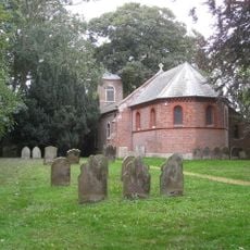
Church of St Andrew
1.4 km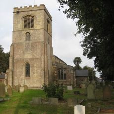
Church of St Peter and St Paul
7 km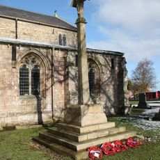
Ingoldmells War Memorial in Churchyard to Church of St Peter and St Paul
7 km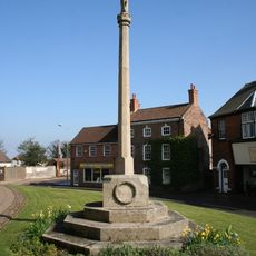
Alford War Memorial Cross
6.3 km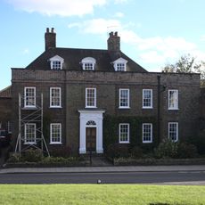
Ivy House
6.2 km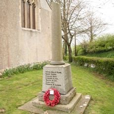
Bilsby War Memorial
5.5 km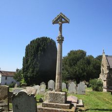
Cross In Churchyard, South Side
2.2 km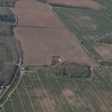
Castle Hill: a motte castle 250m east of Hanby Hall Farm
5.9 km
Barclays Bank
6.3 km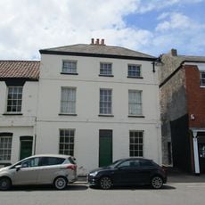
Pj Bedford
6.3 km
Cb And M Sutton
6.3 kmReviews
Visited this place? Tap the stars to rate it and share your experience / photos with the community! Try now! You can cancel it anytime.
Discover hidden gems everywhere you go!
From secret cafés to breathtaking viewpoints, skip the crowded tourist spots and find places that match your style. Our app makes it easy with voice search, smart filtering, route optimization, and insider tips from travelers worldwide. Download now for the complete mobile experience.

A unique approach to discovering new places❞
— Le Figaro
All the places worth exploring❞
— France Info
A tailor-made excursion in just a few clicks❞
— 20 Minutes