
Ratby, commuter village and civil parish in the Hinckley and Bosworth district of Leicestershire, England
Location: Hinckley and Bosworth
Shares border with: Groby
GPS coordinates: 52.64800,-1.24200
Latest update: March 15, 2025 06:41

Bradgate Park
5.1 km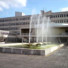
Leicestershire County Council
3.7 km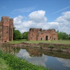
Kirby Muxloe Castle
1.6 km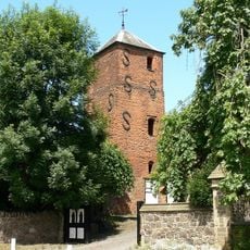
Groby Old Hall
2 km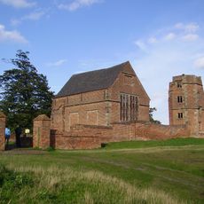
Bradgate House
4.8 km
Groby Castle
2 km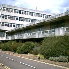
County Hall
3.7 km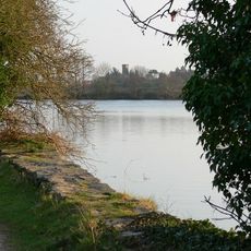
Groby Pool and Woods
2.4 km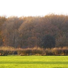
Sheet Hedges Wood
3 km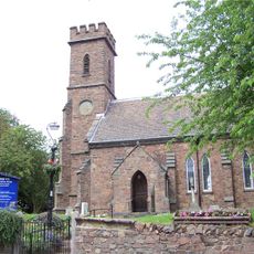
Church of St Philip and James
2 km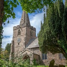
Church of St Michael
5 km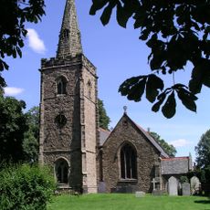
Church of St Martin
4.2 km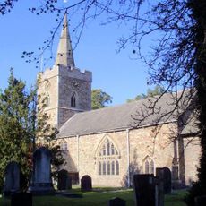
Church of All Saints
4 km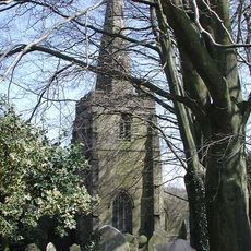
Church of St Peter
4.9 km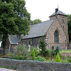
Church of St Bartholomew
1.4 km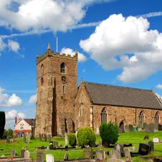
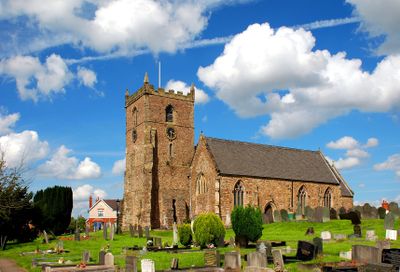
Church of St Philip and St James
131 m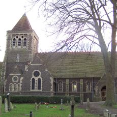
Church of St Peter
2.4 km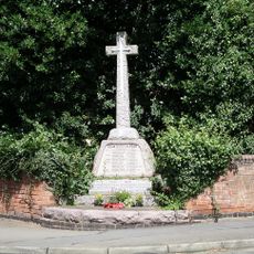
Desford War Memorial
4.3 km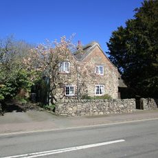
43, Main Street
4.2 km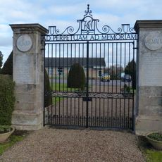
Kirby Muxloe Stone of Remembrance and War Memorial Gates
2 km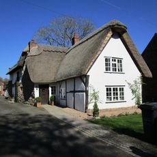
Vine Cottage
4.1 km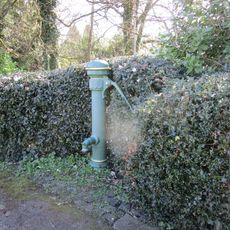
Village Pump (Between Nos 8 And 10)
4.1 km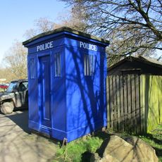
Police Box, Newtown Linford
4 km
41, Main Street
4.2 km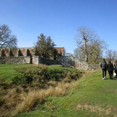
Tiltyard
4.8 km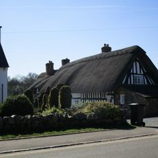
60,62 And 64, Main Street
4.2 km
No 15 And Shop
4.1 km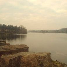
Thornton Reservoir
4.4 kmReviews
Visited this place? Tap the stars to rate it and share your experience / photos with the community! Try now! You can cancel it anytime.
Discover hidden gems everywhere you go!
From secret cafés to breathtaking viewpoints, skip the crowded tourist spots and find places that match your style. Our app makes it easy with voice search, smart filtering, route optimization, and insider tips from travelers worldwide. Download now for the complete mobile experience.

A unique approach to discovering new places❞
— Le Figaro
All the places worth exploring❞
— France Info
A tailor-made excursion in just a few clicks❞
— 20 Minutes