
Teffont, civil parish in Wiltshire, England
Location: Wiltshire
Website: http://teffont.com
GPS coordinates: 51.08500,-2.01600
Latest update: March 5, 2025 09:01

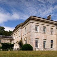
Philipps House
1.4 km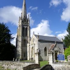
Church of St Michael and All Angels, Teffont Evias
584 m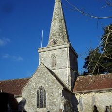
Church of St Margaret of Antioch
2.2 km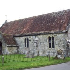
Church of St Edward
626 m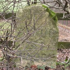
Milestone Approximately 50 Metres East Of Woodfield Park Stud
663 m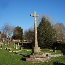
Chilmark War Memorial
2.2 km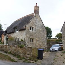
Home Farm Cottage
347 m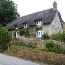
Kiln Cottage
355 m
Howards House Hotel
435 m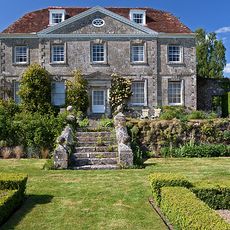
Hydes House
1.9 km
Holt Cottage
156 m
Montague Cottage
375 m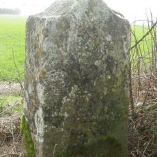
The Bake and Wylye Down milestones
3.1 km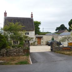
Brookfield
128 m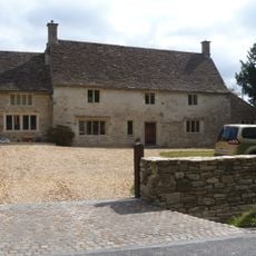
Speargate
2 km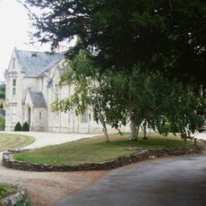
Bridges
175 m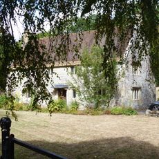
The Lodge
1.9 km
Greystones
286 m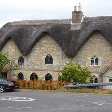
Brooklyn Evias Pathways Three Hands
53 m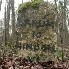
Milestone Approximately 300 Metres To North West Of The Lodge
641 m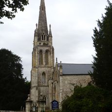
Gate Piers, Gate, Attached Walling And Bridge At Church Of St Michael And All Angels
603 m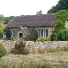
Manor School Bungalow
383 m
Cowshed To North Side Of Greystones
255 m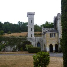
Folly To Rear Of Teffont Manor
567 m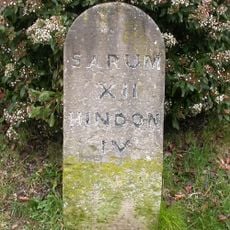
Milestone Approximately 200 Metres East Of The Black Dog
2.2 km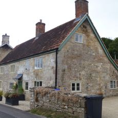
Enderleys
404 m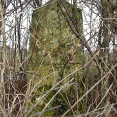
Milestone, Oxdrove N Hinton, S Wylye, concrete road; 300m E entrance Totterdale Farm
3.3 km
Milestone, Oxdrove, Teffont (concrete); 350m W road Teffont-A303
3 kmReviews
Visited this place? Tap the stars to rate it and share your experience / photos with the community! Try now! You can cancel it anytime.
Discover hidden gems everywhere you go!
From secret cafés to breathtaking viewpoints, skip the crowded tourist spots and find places that match your style. Our app makes it easy with voice search, smart filtering, route optimization, and insider tips from travelers worldwide. Download now for the complete mobile experience.

A unique approach to discovering new places❞
— Le Figaro
All the places worth exploring❞
— France Info
A tailor-made excursion in just a few clicks❞
— 20 Minutes