
Swepstone, human settlement in United Kingdom
Location: North West Leicestershire
GPS coordinates: 52.69330,-1.45498
Latest update: March 22, 2025 04:15

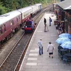
Shackerstone railway station
4.3 km
Queen Elizabeth Diamond Jubilee Wood
2.4 km
Sence Valley Forest Park
3.4 km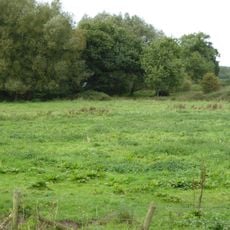
Newton Burgoland Marshes
2.3 km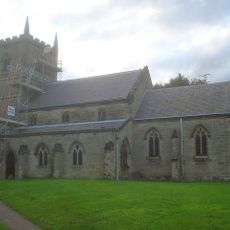
Church of St John the Baptist
2.1 km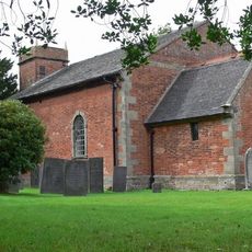
Church of St Bartholomew
3.1 km
Church of St Mary the Virgin
5.3 km
Church of St Peter
4.1 km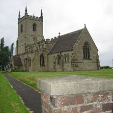
Church of St Peter, Swepstone
250 m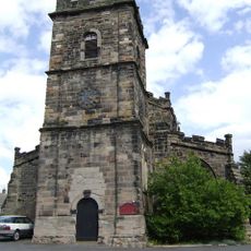
Church of St Lawrence
3.7 km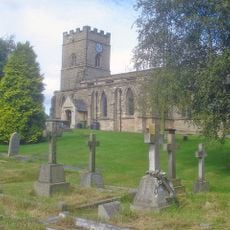
Church of the Holy Rood
3.9 km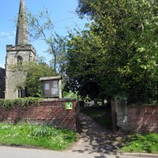
Church of the Holy Trinity
2.2 km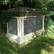
Church of St Denys and Paget Tombs in Churchyard
3.7 km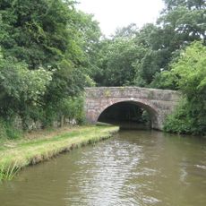
Number 60 Bridge
2.8 km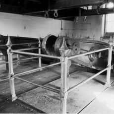
Snarestone Pumping Station
2.3 km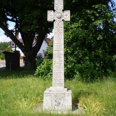
Congerstone War Memorial
5.3 km
Odstone Hall
3.8 km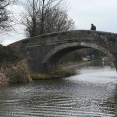
Number 61 Turnover Bridge
2.6 km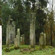
Garden Temple At Ngr 354059 500 Metres South Of Gopsall Hall Farm
5.1 km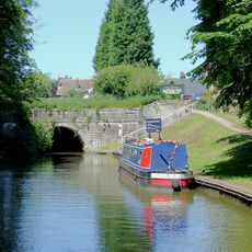
Snarestone Tunnel Entrances
3 km
Ibstock War Memorial
3.7 km
Snarestone War Memorial
2.8 km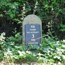
Milestone 120m east of Alton Lodge
4.4 km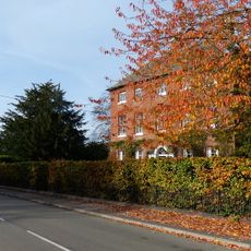
Manor Farmhouse
2.8 km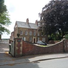
Beech House
2.8 km
Manor Farmhouse
2.1 km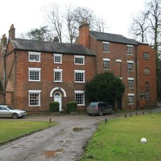
Help Out Mill
3.1 km
Milestone, by newsagents, No. 65 Melbourne Road, opp. Valley Road
3.7 kmReviews
Visited this place? Tap the stars to rate it and share your experience / photos with the community! Try now! You can cancel it anytime.
Discover hidden gems everywhere you go!
From secret cafés to breathtaking viewpoints, skip the crowded tourist spots and find places that match your style. Our app makes it easy with voice search, smart filtering, route optimization, and insider tips from travelers worldwide. Download now for the complete mobile experience.

A unique approach to discovering new places❞
— Le Figaro
All the places worth exploring❞
— France Info
A tailor-made excursion in just a few clicks❞
— 20 Minutes