
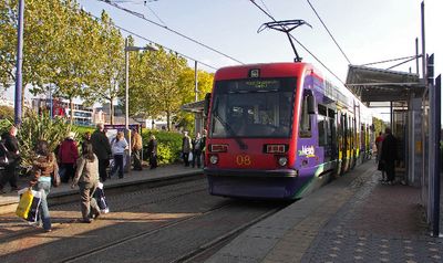
West Bromwich Central tram stop, West Midlands Metro tram stop
Location: West Bromwich
Official opening: May 31, 1999
GPS coordinates: 52.51660,-1.99476
Latest update: March 15, 2025 23:52
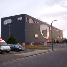
The Public
281 m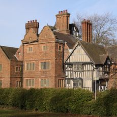
Oak House, West Bromwich
651 m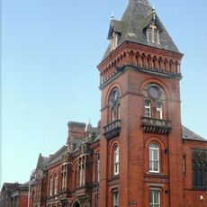
West Bromwich Town Hall
498 m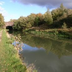
Ridgacre Branch
1.9 km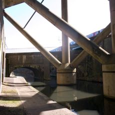
Stewart Aqueduct
1.2 km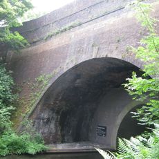
Summit Bridge
1.9 km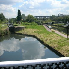
Spon Lane Locks Branch
1.1 km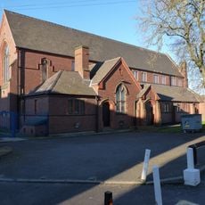
Church of St. Andrew, West Bromwich
1.2 km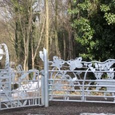
Sot's Hole Local Nature Reserve
1.6 km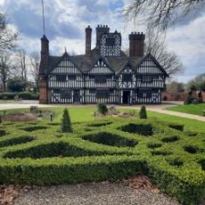
Oak House Museum
653 m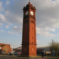
Farley Clock Tower
1.1 km
Dartmouth Park
984 m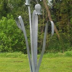
Bluebell
1.4 km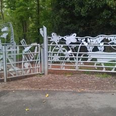
Sot's Hole gate
1.4 km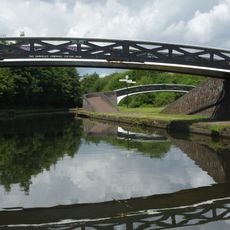
Footbridge Over Old Main Line At Bromford Junction, (Approximately 40 Metres) West Of Spon Lane Locks Birmingham Canal Wolverhampton Level
1.3 km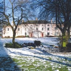
Highfields
639 m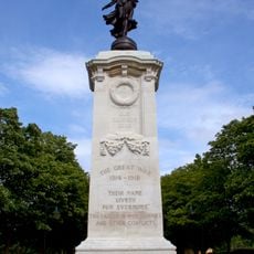
Sandwell War Memorial
851 m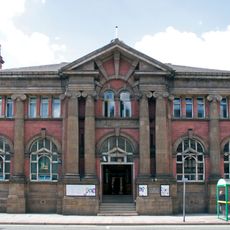
West Bromwich Library
461 m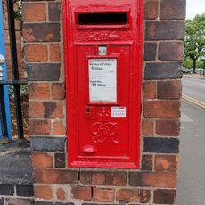
Post box B71 46
1.1 km
Top Lock, Spon Lane Locks, With Attached Footbridge Birmingham Canal Wolverhampton Level
1.1 km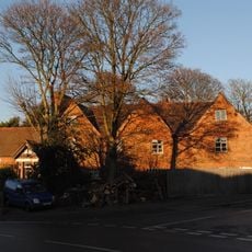
Hill House
1.4 km
Footbridge Over New Main Line At Bromford Junction, 20 Metres South Of Bottom Lock, Spon Lane Locks Birmingham Canal Birmingham Level
1.3 km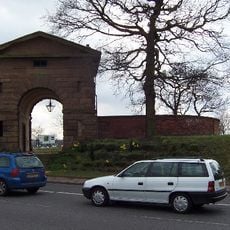
Arch Lodge And Flanking Wall (Junction 1 M5 Motorway And A41)
1.5 km
The Big House
1.9 km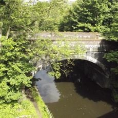
Railway Bridge 15 Metres North Of Summit Bridge/Roebuck Lane Birmingham Canal Wolverhampton Level
1.9 km
38, Birmingham Street
1.9 km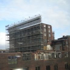
Chances Glassworks
1.2 km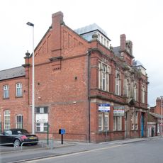
Law Courts
418 mReviews
Visited this place? Tap the stars to rate it and share your experience / photos with the community! Try now! You can cancel it anytime.
Discover hidden gems everywhere you go!
From secret cafés to breathtaking viewpoints, skip the crowded tourist spots and find places that match your style. Our app makes it easy with voice search, smart filtering, route optimization, and insider tips from travelers worldwide. Download now for the complete mobile experience.

A unique approach to discovering new places❞
— Le Figaro
All the places worth exploring❞
— France Info
A tailor-made excursion in just a few clicks❞
— 20 Minutes