
Dunston Hill Hospital, former hospital in England
Location: Gateshead
Location: Gateshead
Inception: 1928
Website: http://qegateshead.nhs.uk
GPS coordinates: 54.94550,-1.65684
Latest update: March 18, 2025 12:01

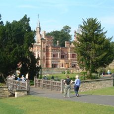
Saltwell Park
3.3 km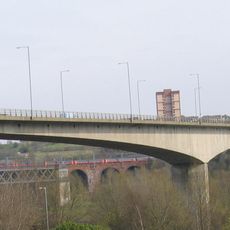
Redheugh Bridge
3 km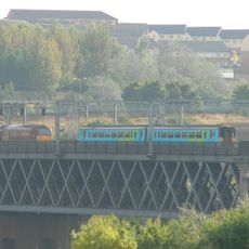
King Edward VII Bridge
3.3 km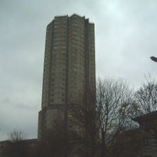
Derwent Tower
1.3 km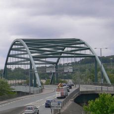
Scotswood Bridge
3.2 km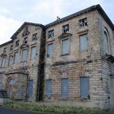
Axwell House
3.1 km
St Stephen's Church, Low Elswick
2.3 km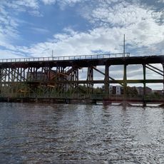
Dunston staiths
2 km
Milecastle 6
3.3 km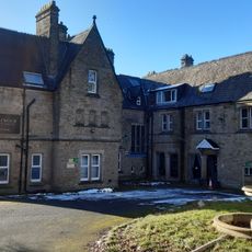
Royal Victoria School For The Blind
3.1 km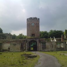
Ravensworth Castle
2.5 km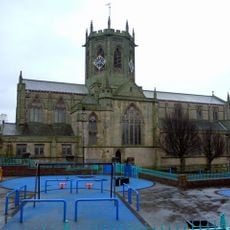
Church of St Chad
2.9 km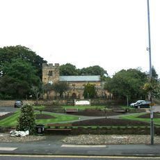
Church of St Mary
1.1 km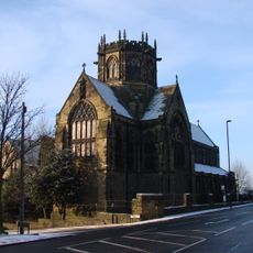
Church of St Michael And Presbytery Attached
2.5 km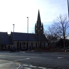
Church of St James
2.8 km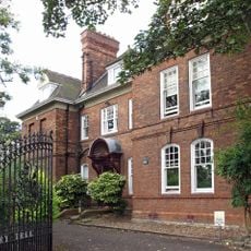
Church House And Dwarf Walls In Front
3.3 km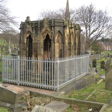
Mather Tomb In St John's Cemetery
2.4 km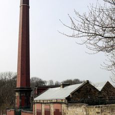
Benwell Waterworks Chimney
3.3 km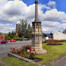
War Memorial
2.1 km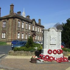
Whickham War Memorial
1.1 km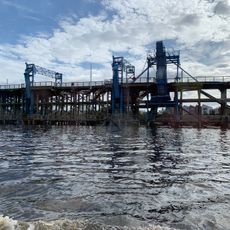
River Tyne Dunston Coal Staithes
2.1 km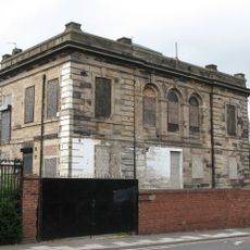
St Pauls Church Of England School (North Part)
3.2 km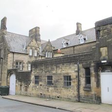
St Anne's Convent And Walls Attached
3.3 km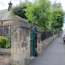
Railings And Walls To South And East Of Hospital Of St Mary The Virgin Almshouses
3.1 km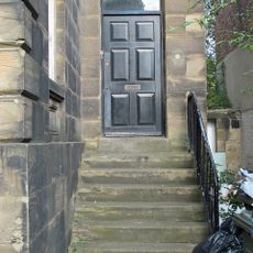
Steps And Railings To Right Of Number 2
3.2 km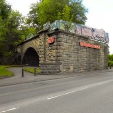
'Derwent Walk Express' and supporting bridge abutment and approach spans
2.3 km
Bensham Bank, by park
2.7 km
Hospital Of St Mary The Virgin Almshouses
3 kmVisited this place? Tap the stars to rate it and share your experience / photos with the community! Try now! You can cancel it anytime.
Discover hidden gems everywhere you go!
From secret cafés to breathtaking viewpoints, skip the crowded tourist spots and find places that match your style. Our app makes it easy with voice search, smart filtering, route optimization, and insider tips from travelers worldwide. Download now for the complete mobile experience.

A unique approach to discovering new places❞
— Le Figaro
All the places worth exploring❞
— France Info
A tailor-made excursion in just a few clicks❞
— 20 Minutes