
Pilsdon Manor, architectural structure in West Dorset, Dorset, England, UK
Location: West Dorset
Location: Pilsdon
GPS coordinates: 50.79300,-2.83135
Latest update: March 7, 2025 18:07

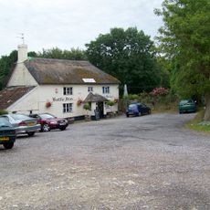
The Bottle Inn
3.7 km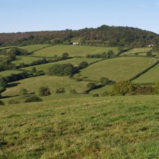
Lambert's Castle
4.3 km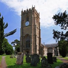
Church of St Candida and Holy Cross, Whitchurch Canonicorum
4.5 km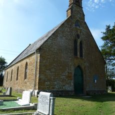
Broadoak Church
4.1 km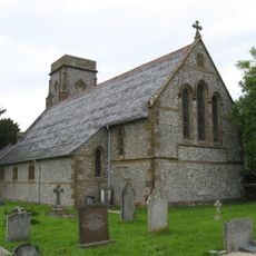
St Mary's Church
3.2 km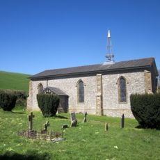
Holy Trinity
3.9 km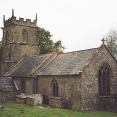
Parish Church of St Andrew
3.4 km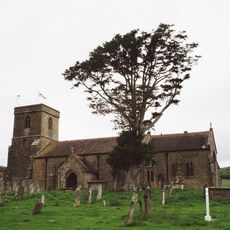
Parish Church of St Mary
4 km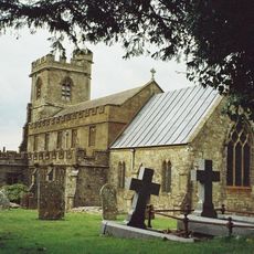
Parish Church of St John the Baptist
3.8 km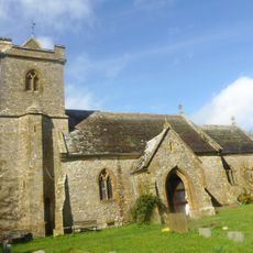
Church of St Stephen
1.6 km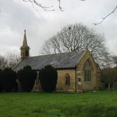
Church of St Mary
54 m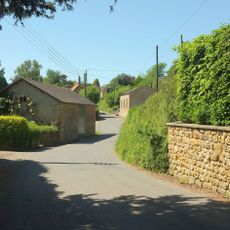
Congregational Chapel
3.9 km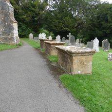
5 table tombs circa 5 metres south and west of parish church
4.6 km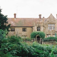
Childhay Manor Farmhouse
4.4 km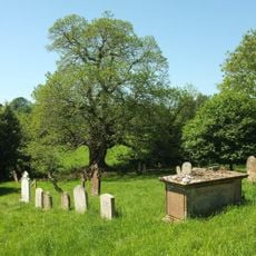
One Table Tomb 15 Metres South East Of Chancel, (Welman)
4 km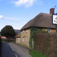
Shave Cross, Public House
1.6 km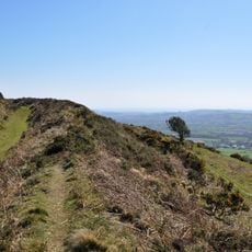
Pilsdon Pen hillfort and associated remains
1.7 km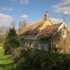
Cottage Farmhouse
4.5 km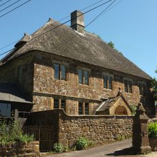
Court Orchard
3.9 km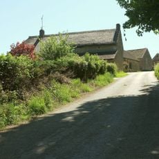
Brimley Farmhouse
3.1 km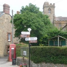
K6 Telephone Kiosk, Church Path
3.8 km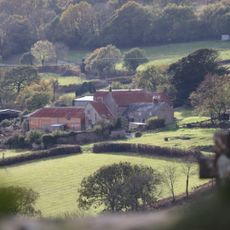
Nash Farmhouse
4 km
Strongate Farmhouse
4.3 km
Dunster Farmhouse
3 km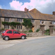
Manor Farmhouse and Attached Front Wall and Gate Piers
3.5 km
New House Farmhouse
2.8 km
Blackney Farmhouse
1.6 km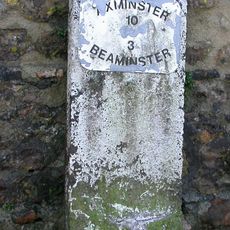
Milestone, 100m from junction with B3162 by shop and pub
3.6 kmReviews
Visited this place? Tap the stars to rate it and share your experience / photos with the community! Try now! You can cancel it anytime.
Discover hidden gems everywhere you go!
From secret cafés to breathtaking viewpoints, skip the crowded tourist spots and find places that match your style. Our app makes it easy with voice search, smart filtering, route optimization, and insider tips from travelers worldwide. Download now for the complete mobile experience.

A unique approach to discovering new places❞
— Le Figaro
All the places worth exploring❞
— France Info
A tailor-made excursion in just a few clicks❞
— 20 Minutes