
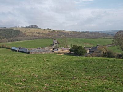
Hydraulic Silo Building 70 Metres East Of Cragend Farmhouse
Hydraulic Silo Building 70 Metres East Of Cragend Farmhouse, building in Cartington, Thropton, England, UK
Cragside
1.9 km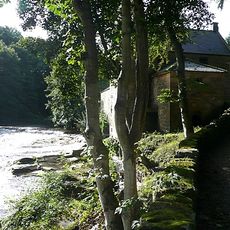
The Old Mill With Attached Wall To North West
2 km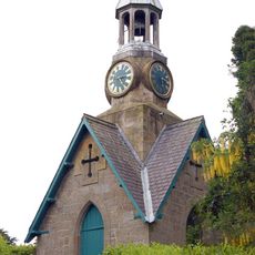
Clock Tower 110 Metres North East Of Cragside Park House
2.1 km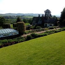
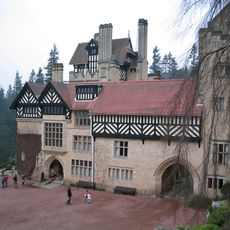
Cragside Park House
2.1 km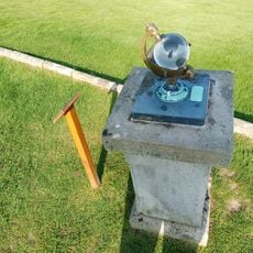
Sunshine Recorder To South East Of Conservatory At Cragside Park House
2.1 km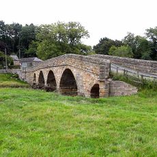
Pauperhaugh Bridge Over The River Coquet
1.9 km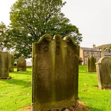
Bell Headstone 21 Metres South East Of Porch Of Church Of All Saints
3 km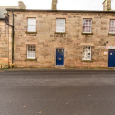
Bridge Street House
3 km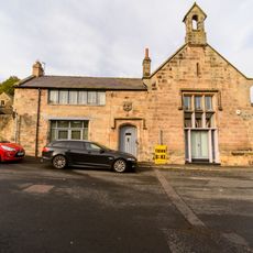
Premises Occupied By Wg Mackay Limited
2.9 km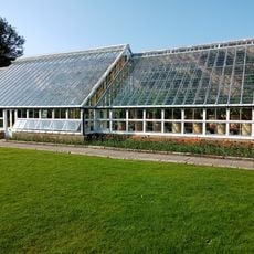
Conservatory And Stables To North East Of Cragside Park House
2.1 km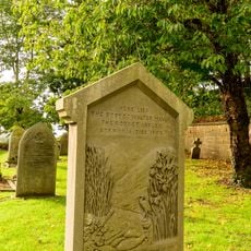
Monument To Walter Mavin At South East Of Detached Graveyard
3 km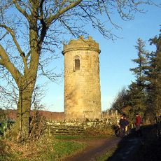
Sharpe's Folly
2.9 km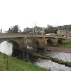
Rothbury Bridge
2.9 km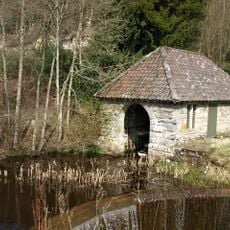
Tumbleton Boat House
2.3 km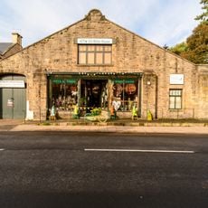
Rothbury Motors Garage
2.9 km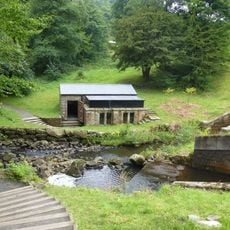
Tumbleton Ram House On West Of Debdon Burn At Foot Of Tumbelton Dam
2.3 km
Purvis Headstone 16 Metres East Of Church Of All Saints
3 km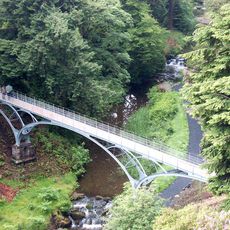
The Iron Bridge Across The Debdon Burn 80 Metres North West Of Cragside
2 km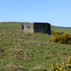
Pill Box At Nu 067005
2 km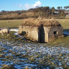
Pill Box At Nz 099 994
2 km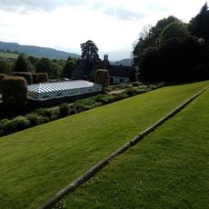
Rose Arbour And Terrace Wall To East Of Cragside Park House
2.1 km
Cup and ring marked rock and adjacent stone setting, 820m east of Whittondean Farm
2.6 km
Pair Of Stones On Cartington Longframlington Parish Boundary
3 km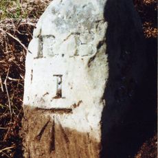
Milestone Circa 1 Mile South Of Rothbury
2.3 km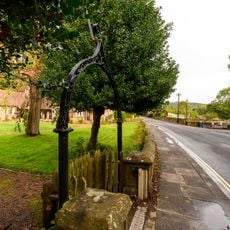
Front Wall And Gateway To Armstrong Cottages
2.8 km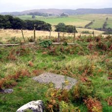
Cup and ring marked rock, 940m south-west of Wagtail Farm
2.3 km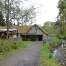
Burnfoot Power House, 70 Metres North Of Burnfoot Lodge
1.9 km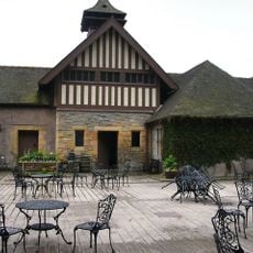
Cragside Visitor Centre Tumbleton Stables
2.4 kmReviews
Visited this place? Tap the stars to rate it and share your experience / photos with the community! Try now! You can cancel it anytime.
Discover hidden gems everywhere you go!
From secret cafés to breathtaking viewpoints, skip the crowded tourist spots and find places that match your style. Our app makes it easy with voice search, smart filtering, route optimization, and insider tips from travelers worldwide. Download now for the complete mobile experience.

A unique approach to discovering new places❞
— Le Figaro
All the places worth exploring❞
— France Info
A tailor-made excursion in just a few clicks❞
— 20 Minutes