
Bixley medieval settlement, archaeological site in Norfolk, UK
Location: Caistor St Edmund and Bixley
GPS coordinates: 52.59510,1.33532
Latest update: March 7, 2025 17:56

Trowse Bridge
3.1 km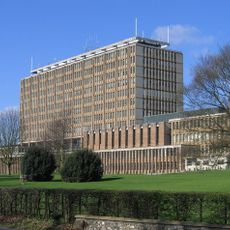
County Hall, Norwich
2.9 km
County Ground, Lakenham
3.3 km
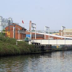
Whitlingham Quarry
3.1 km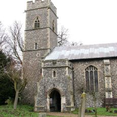
Church of St Andrew
2.4 km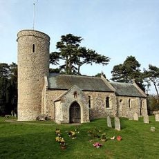
Church of St Andrew
2.8 km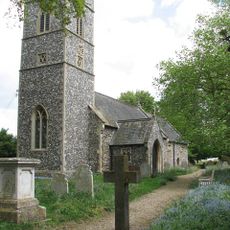
Church of St Andrew
1.9 km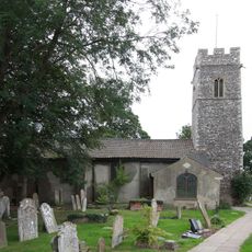
Church of St John and All Saints
2.9 km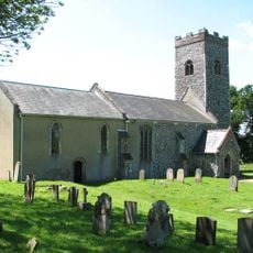
Church of St Edmund
3.2 km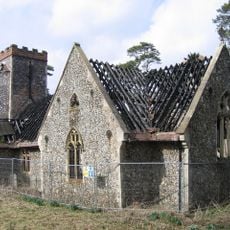
Church of St Wandregelius
139 m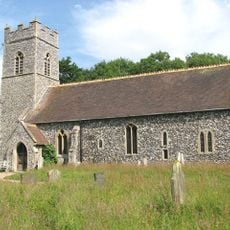
Church of St Mary
973 m
Church of St Andrew
2.2 km
Blackford Hall Chapel
3.3 km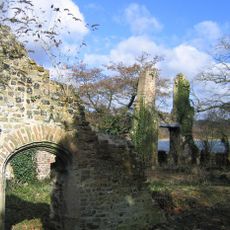
Ruins Of Trowse Newton Hall
3 km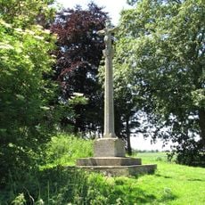
Caistor St Edmund War Memorial
3.1 km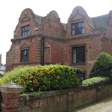
Manor House
3.4 km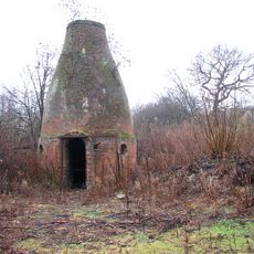
Bottle Kiln At Ngr Tg24750748
2.8 km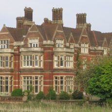
Whitlingham Hospital Blocks 04, 05, 06
2.1 km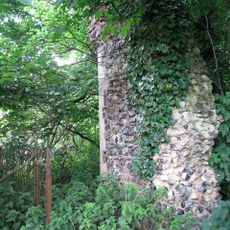
Ruins of Church of St Andrew
3.3 km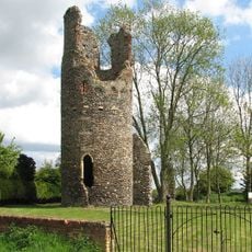
Remains of the church of St Mary, Kirby Bedon
2 km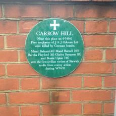
Carrow Hill WWII Memorial Plaque, Norwich
3.4 km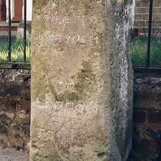
Milestone, The Street, by No. 1 Vulcan Cottages,
2.2 km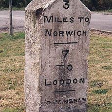
Milestone, jct with Poringland rd W of The Feathers
1.3 km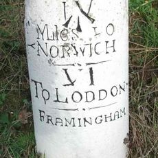
Milestone, 5yds W of The Gul PH opp. rd to Framingham Earl
2.8 km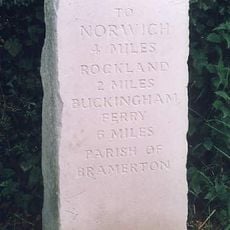
Milestone, Kirby Road, 80yds W of jct with rd to Surlingham
3.3 km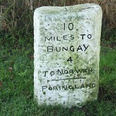
Milestone, N of entrance to Royal Oak PH car park
2.6 km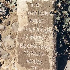
Milestone, Kirby Road, opp. gable end of barn at Oaks Farm
1.2 km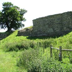
Venta Icenorum
3.3 kmReviews
Visited this place? Tap the stars to rate it and share your experience / photos with the community! Try now! You can cancel it anytime.
Discover hidden gems everywhere you go!
From secret cafés to breathtaking viewpoints, skip the crowded tourist spots and find places that match your style. Our app makes it easy with voice search, smart filtering, route optimization, and insider tips from travelers worldwide. Download now for the complete mobile experience.

A unique approach to discovering new places❞
— Le Figaro
All the places worth exploring❞
— France Info
A tailor-made excursion in just a few clicks❞
— 20 Minutes