
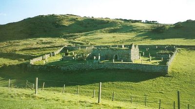
Kilkivan, Old Parish Church And Graveyard, church, in ruins, and churchyard on Kintyre, Argyll and Bute, Scotland, UK
Location: Argyll and Bute
Location: Campbeltown
GPS coordinates: 55.41848,-5.71215
Latest update: September 25, 2025 17:31
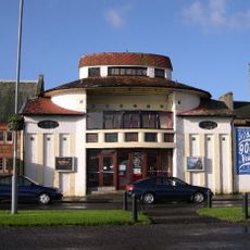
Picture House
6.9 km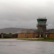
RNAS Machrihanish
2.6 km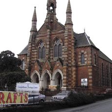
Campbeltown Heritage Centre
6.6 km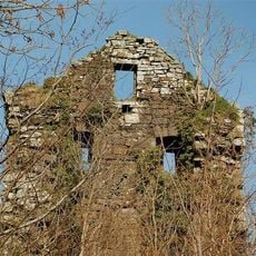
Kilkerran Castle
7.7 km
Campbeltown Town Hall
6.7 km
Aucha Lochy
7.9 km
Kilchrist Castle
4.6 km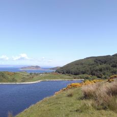
Crosshill Loch
6.5 km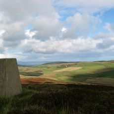
Ranachan Hill
6.1 km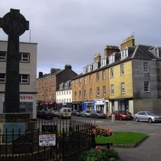
Campbeltown Cross
6.9 km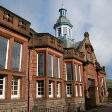
Campbeltown Library and Museum
6.9 km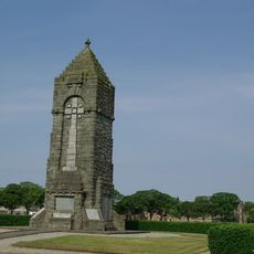
War Memorial, Esplanade, Campbeltown
6.9 km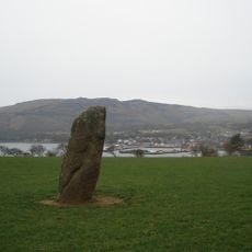
Balegreggen,standing stone 595m ESE of
7.3 km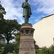
Dumbarton, Kirktonhill, Helenslee Road, Keil School, Statue Of William Mackinnon
6.8 km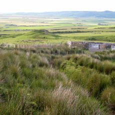
Kilchrist,dun 450m ESE of
5.2 km
Ballygroggan, dun 175m SW of
3.2 km
Machrihanish Ladies Golf Clubhouse, Machrihanish
1.3 km
Oatfield House
3.6 km
Campbeltown, Kilkerran Road, Former Lifeboat House
7.4 km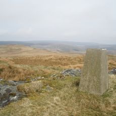
Ballywilline Hill
7.5 km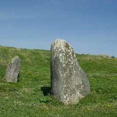
Clochkeil,standing stones NW of
4.4 km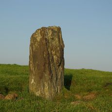
Torchoillean,standing stone and cairn 850m NW of
730 m
Campbeltown, 28, 30 High Street
7 km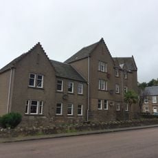
Campbeltown, 17, 19, 21 Prince's Street
7 km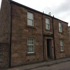
Campbeltown, 10 -12 Glebe Street
6.6 km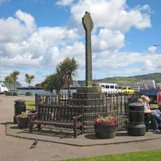
Campbeltown Cross,Hall Street
6.9 km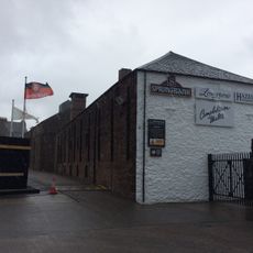
Campbeltown, Glebe Street, Springbank Distillery
6.6 km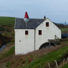
Tangy Mill
7.7 kmVisited this place? Tap the stars to rate it and share your experience / photos with the community! Try now! You can cancel it anytime.
Discover hidden gems everywhere you go!
From secret cafés to breathtaking viewpoints, skip the crowded tourist spots and find places that match your style. Our app makes it easy with voice search, smart filtering, route optimization, and insider tips from travelers worldwide. Download now for the complete mobile experience.

A unique approach to discovering new places❞
— Le Figaro
All the places worth exploring❞
— France Info
A tailor-made excursion in just a few clicks❞
— 20 Minutes