
5, High Street, building in Sutton Benger, Wiltshire, UK
Location: Sutton Benger
Address: 5, High Street, Sutton Benger, Wiltshire, SN15
GPS coordinates: 51.50516,-2.08561
Latest update: September 28, 2025 14:43
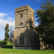
St James's Church, Draycot Cerne
703 m
The Wellesley Arms Inn
135 m
Church of St Nicholas, Hardenhuish
4.9 km
Church of St Giles
3.8 km
Church of Saint Peter
2.3 km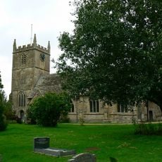
Church of All Saints
1.8 km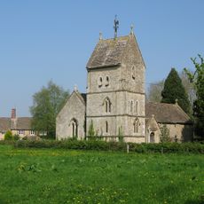
Church of the Holy Rood
5 km
Church of St John the Baptist
3.7 km
Church of St Michael
4 km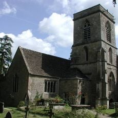
Church of St Peter
3 km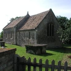
Church of St Nicholas
4.2 km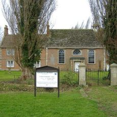
Moravian Church, Manse and Church Cottage
4.3 km
Church of St Giles
2.8 km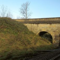
Green Bridge (MLN1/93 03)
4 km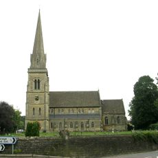
Church of St Paul
5 km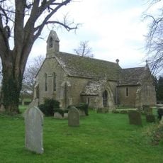
Church of St Mary
2.9 km
Church of All Saints
616 m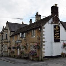
The Jolly Huntsman Inn
3.9 km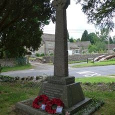
Kington Langley War Memorial
2.4 km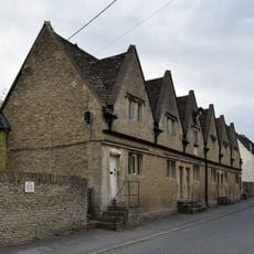
The Lyte Almshouses
3.9 km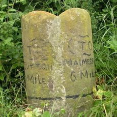
Milestone About 200 Metres South Of Rookery House
2.4 km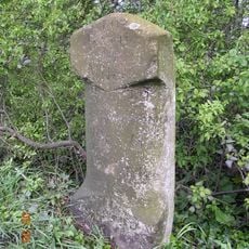
Milestone About 100 Metres East Of Townsends Garage
2.6 km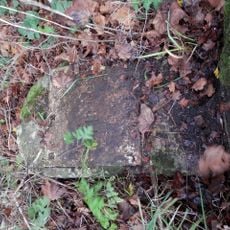
Milestone On East Side, About 40 Metres South Of Hillside Bungalow
2.8 km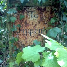
Milestone About 160 Metres South Of Coldharbour
2.6 km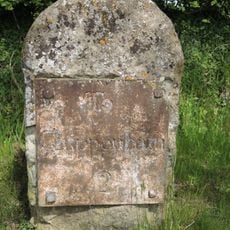
Milestone On East Side About 90 Metres North Of Entry To Heathlands
3.8 km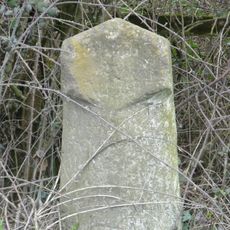
Milestone About 100 Metres South-West Of Drive To Swallett Farm
4.1 km
The Old School
4.9 km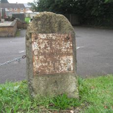
Milestone, Malmesbury Road; 30m S jcn Hill Corner Road outside King Alfred pub
4.6 kmReviews
Visited this place? Tap the stars to rate it and share your experience / photos with the community! Try now! You can cancel it anytime.
Discover hidden gems everywhere you go!
From secret cafés to breathtaking viewpoints, skip the crowded tourist spots and find places that match your style. Our app makes it easy with voice search, smart filtering, route optimization, and insider tips from travelers worldwide. Download now for the complete mobile experience.

A unique approach to discovering new places❞
— Le Figaro
All the places worth exploring❞
— France Info
A tailor-made excursion in just a few clicks❞
— 20 Minutes